


| July 2021 Drone Photos | |||
| Photo | Description | Photo | Description |
 |
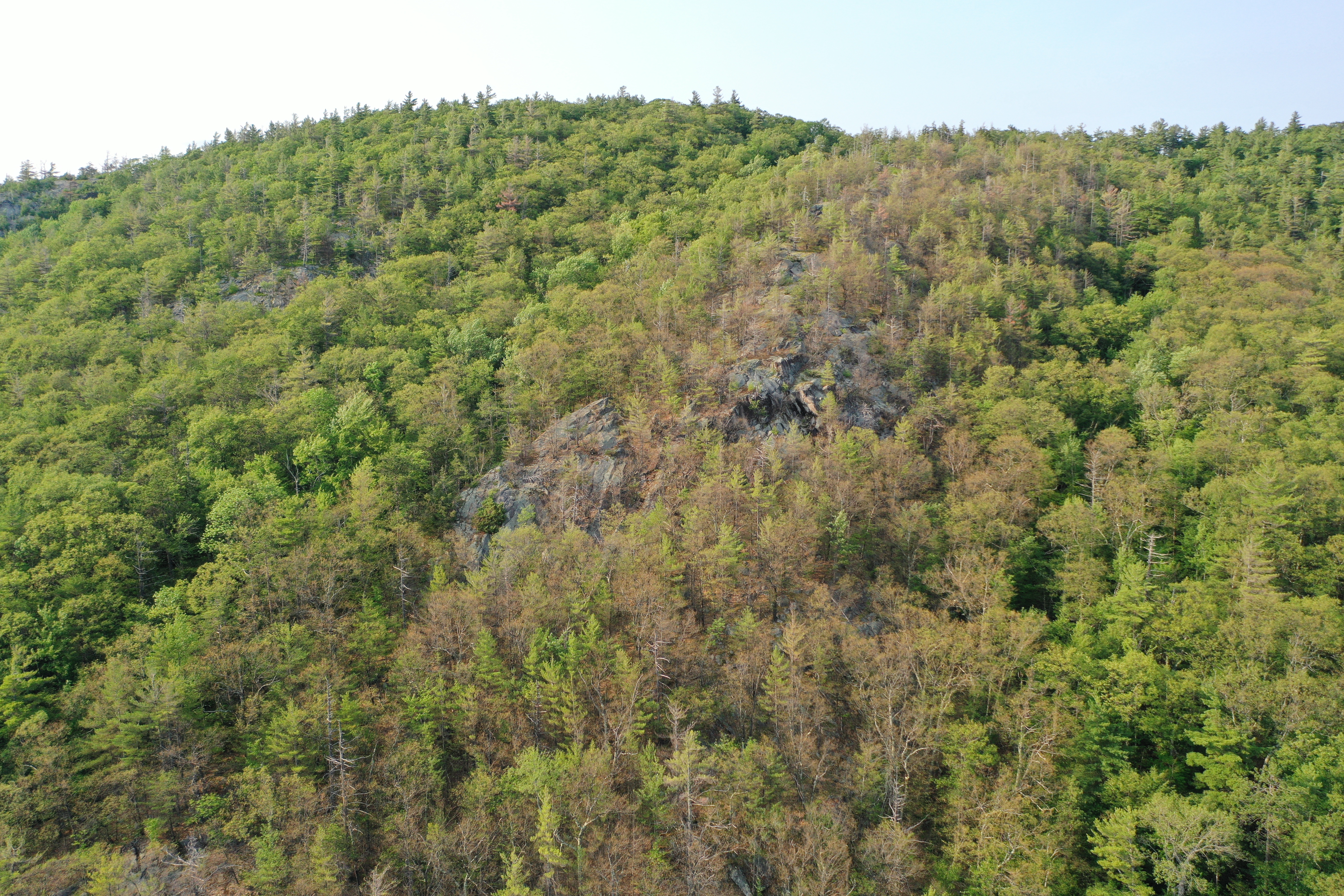
Gypsy Moth? Damage on Skiff Mountain |  |
Fox Island Milfoil Patches |
 |
 |
||
 |
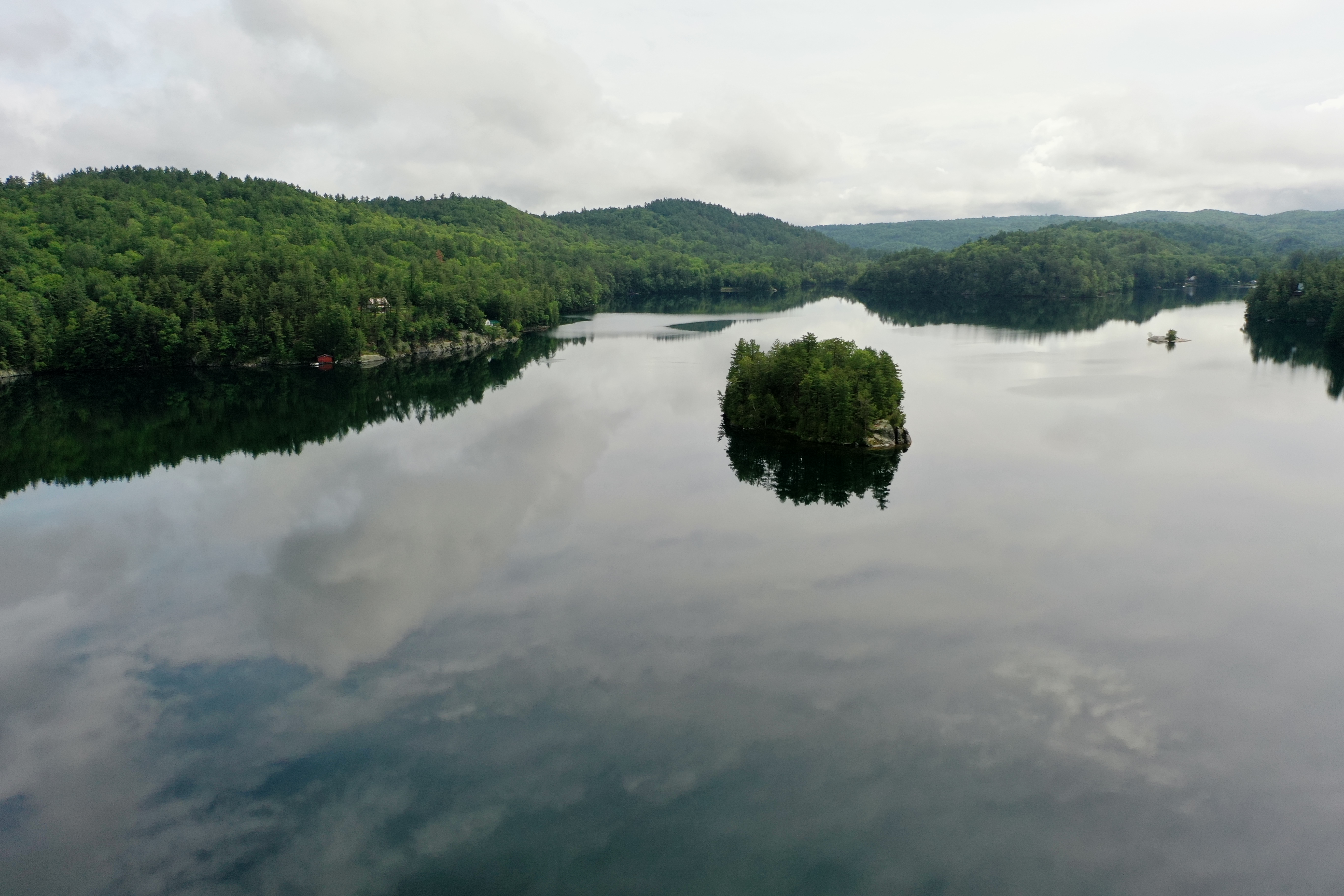 |
Charles Island | |
 |
 |
Turtle Island | |
 |
 |
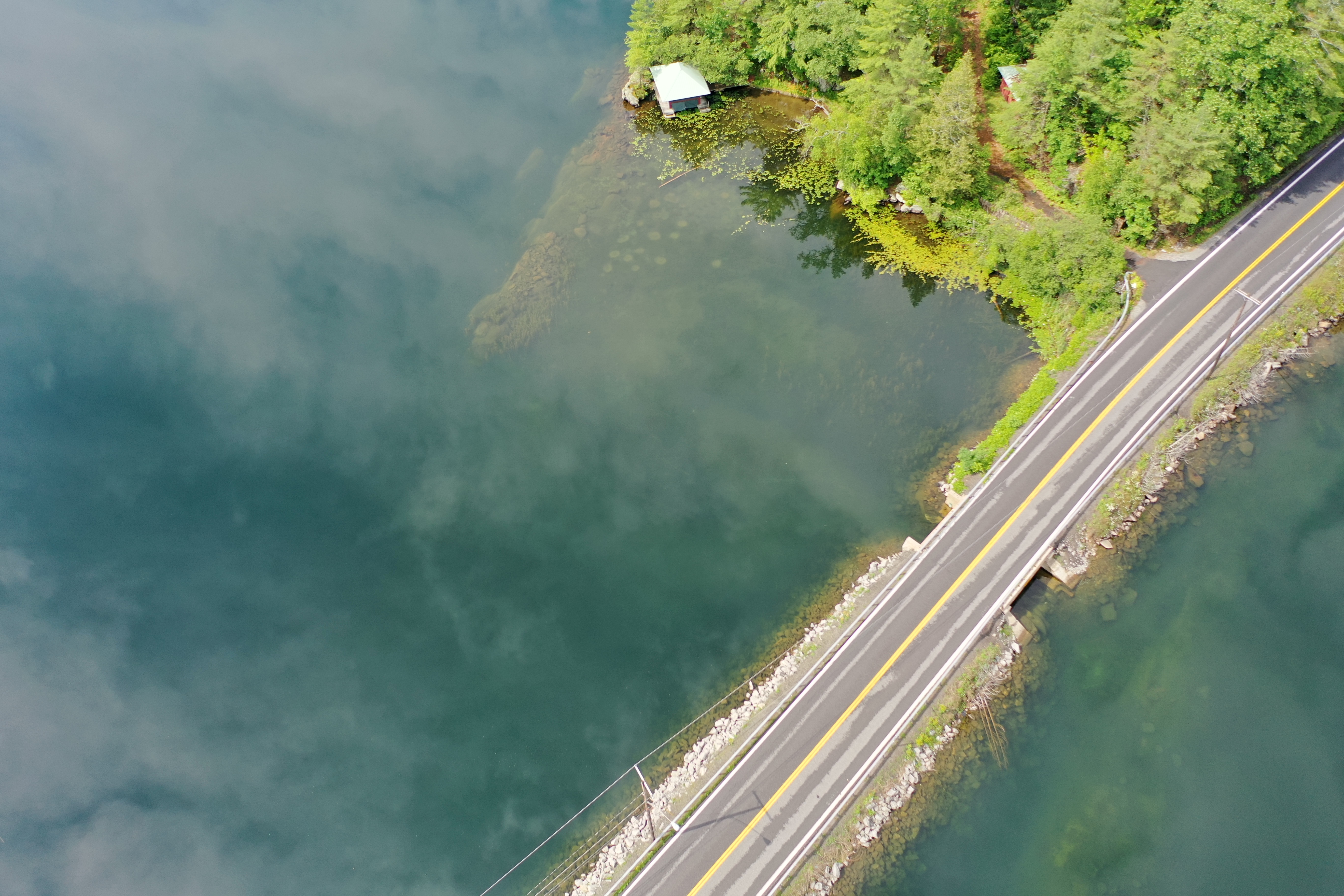
Jim's Daylilies | |
 |
 |
Harris Point Milfoil Patches |
|
 |
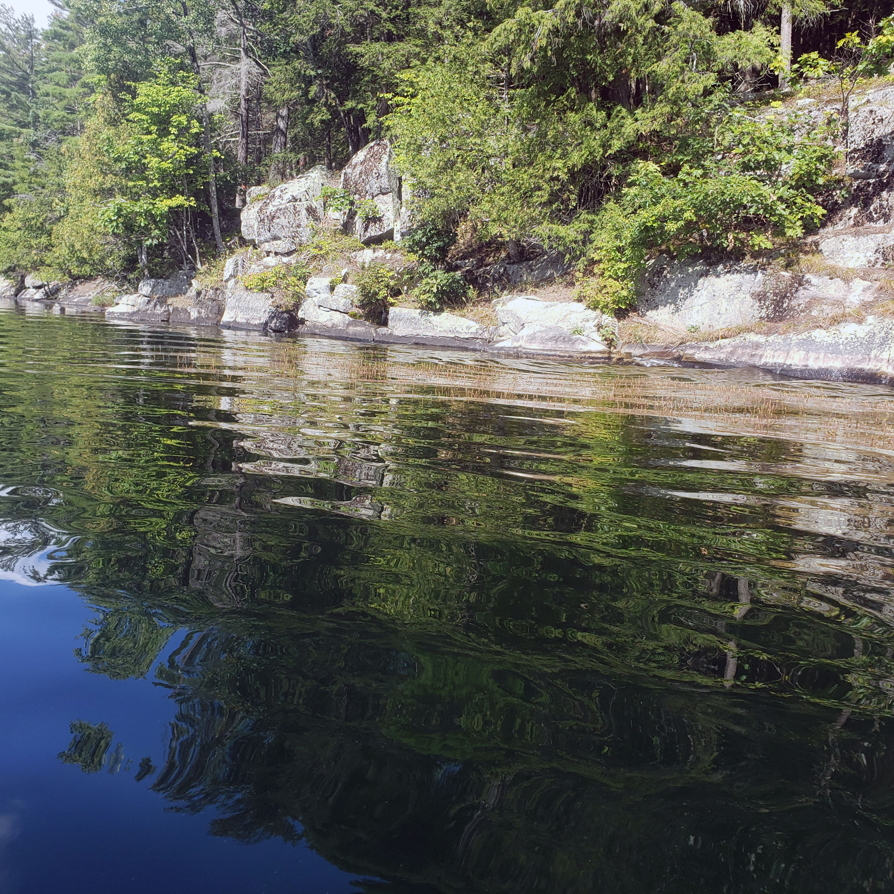
Snake Pond (Up Skiff Mountain from the boat launch) |  |
|
 |
Arnold Pond (Up Skiff Mountain from the Dam) | 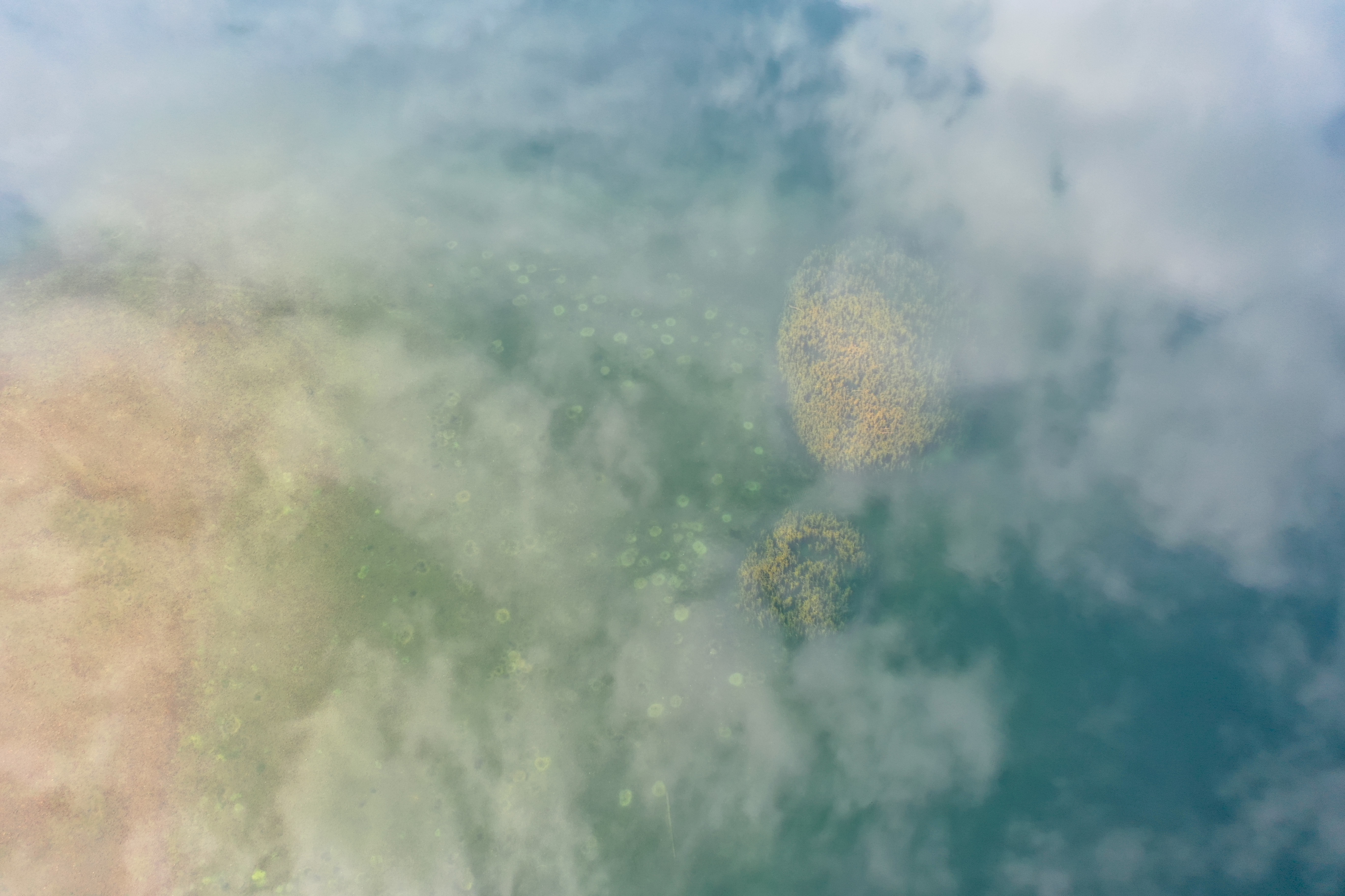 |
|
 |
Around the Causeway Milfoil Patches |
 |
Crown Point Beach |
 |
 |
Patterson's Point Milfoil Patch | |
 |
 |
||
 |
 |
Middle of the Lake Milfoil Patches |
|
 |
 |
||
 |
 |
||
 |
 |
||
 |
|||
| September 2021 Drone Flights | |||
Photos |
Description | Photos |
Description |
 |
Milfoil at the Surface, Pattersons Patch |  |
Crown Point Bay Milfoil Patches |
 |
 |
||
 |
Milfoil Flowers |  |
|
 |
 |
Tiedemann Cliff MilfoilPatches | |
 |
Herd Point Patches |  |
The Causeway |
 |
Middle of the Lake Milfoil Patches |  |
|
 |
 |
Eagle Lake West End | |
 |
 |
||
 |
Paddocks Bay Milfoil Patches |  |
Gooseneck Pond |
 |
 |
||