| 2020 Drone Photos | |
| Photo | Description |
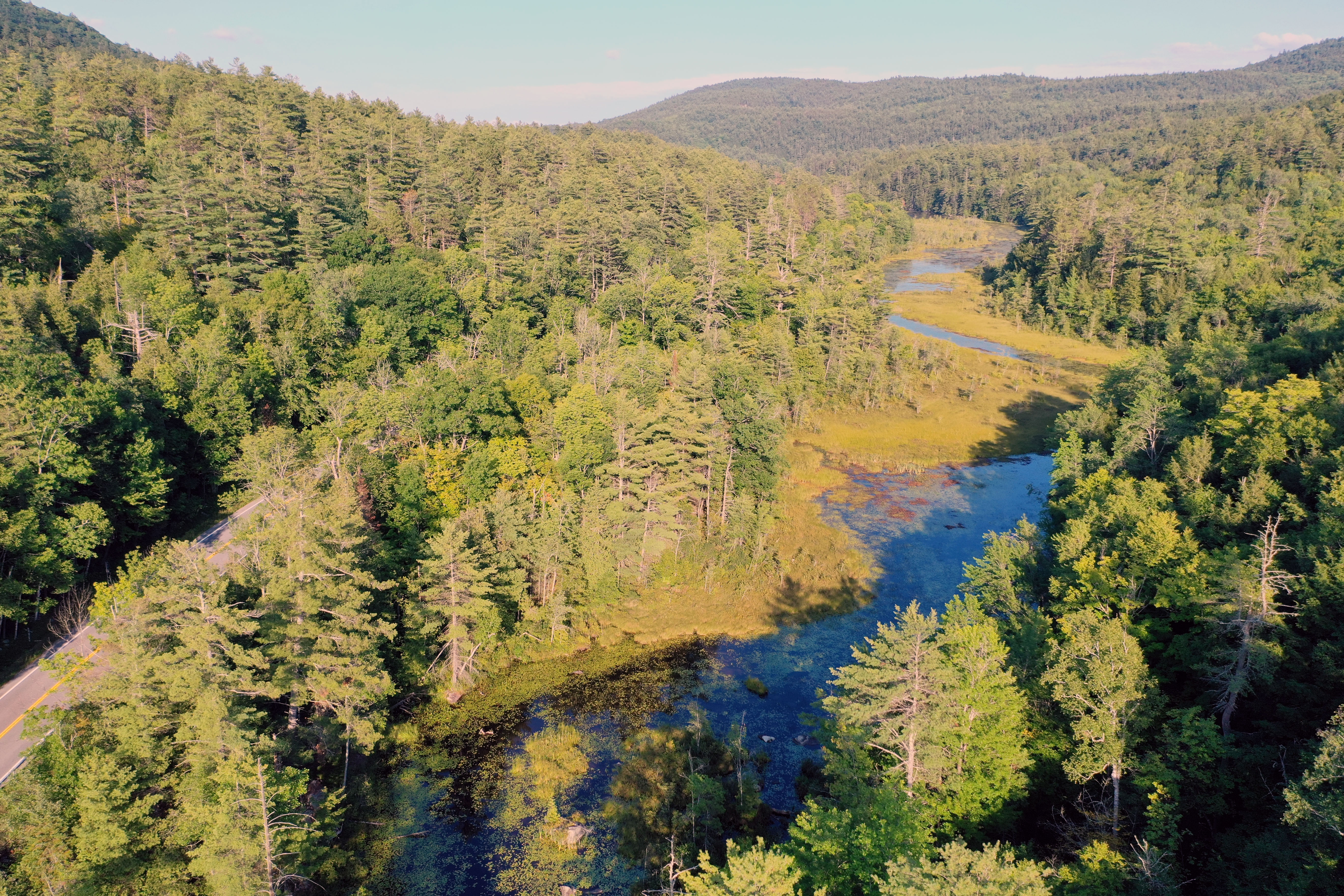 |
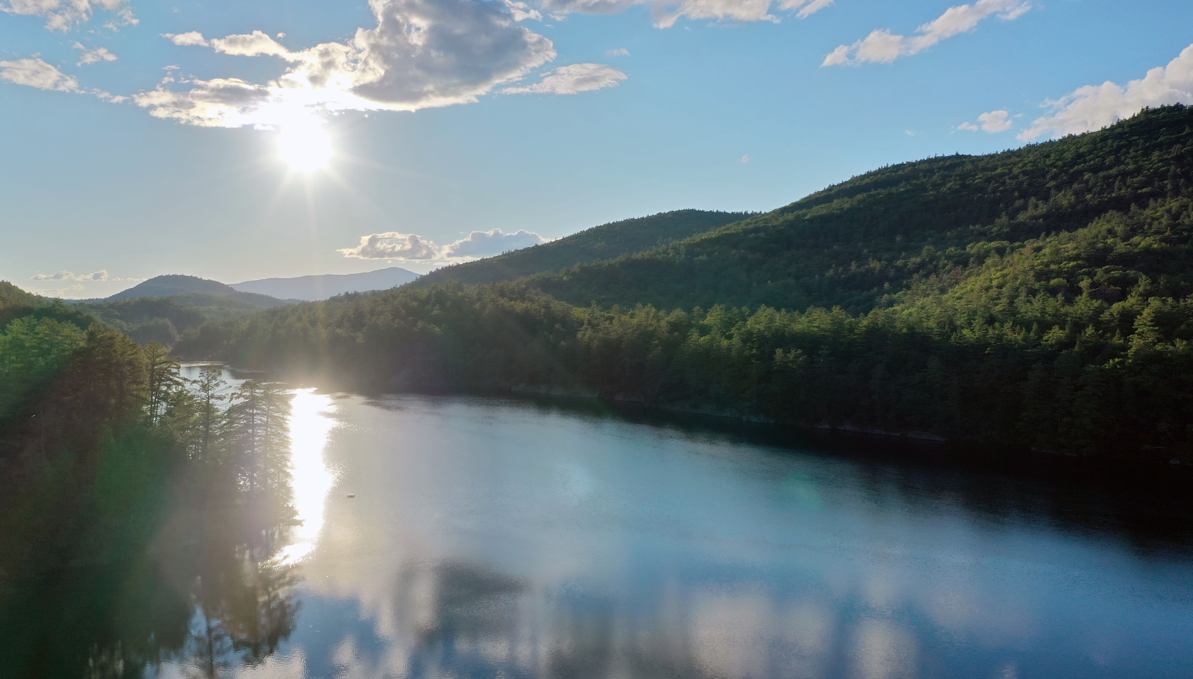
Eagle Lake Outflow Channel |
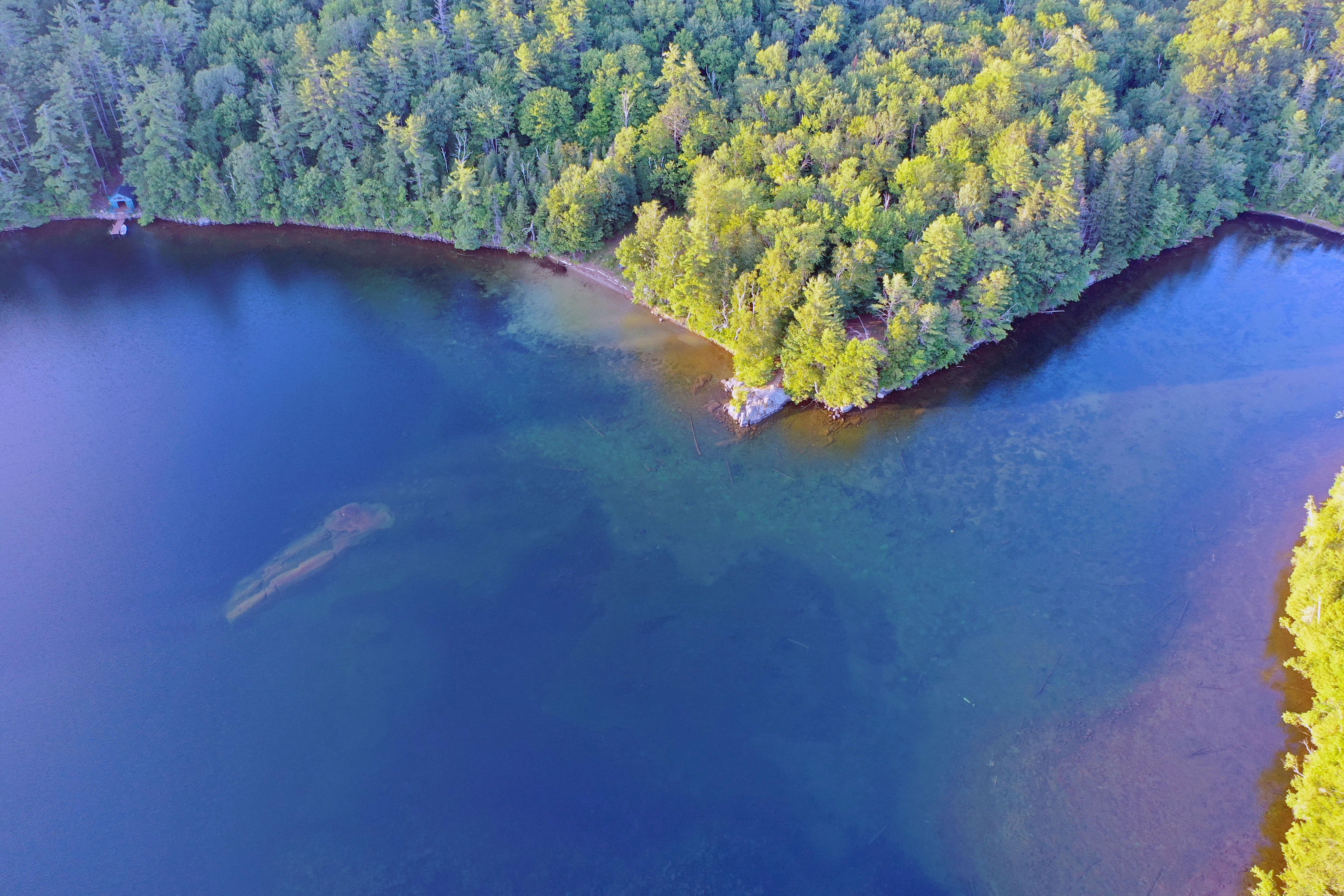 |
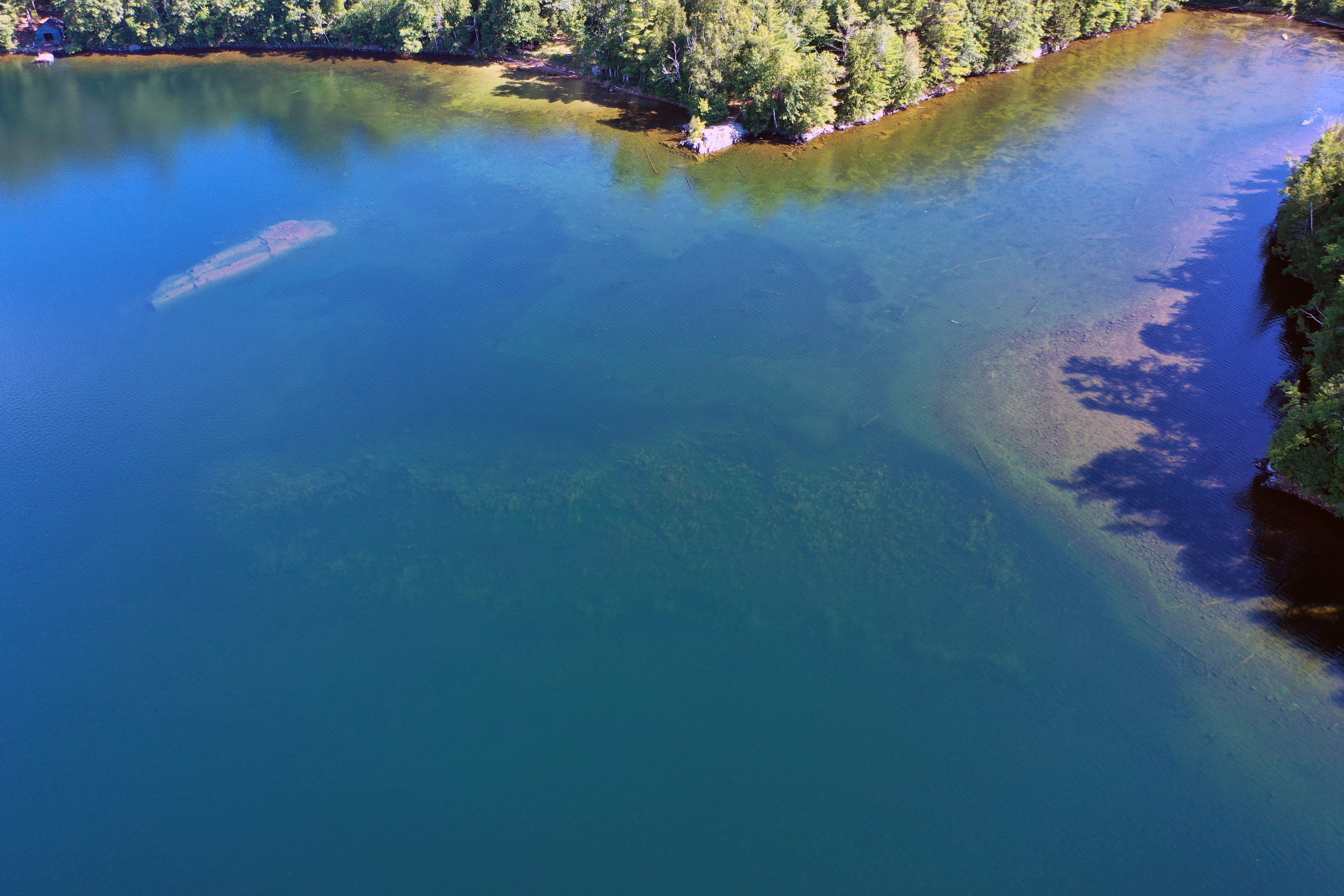
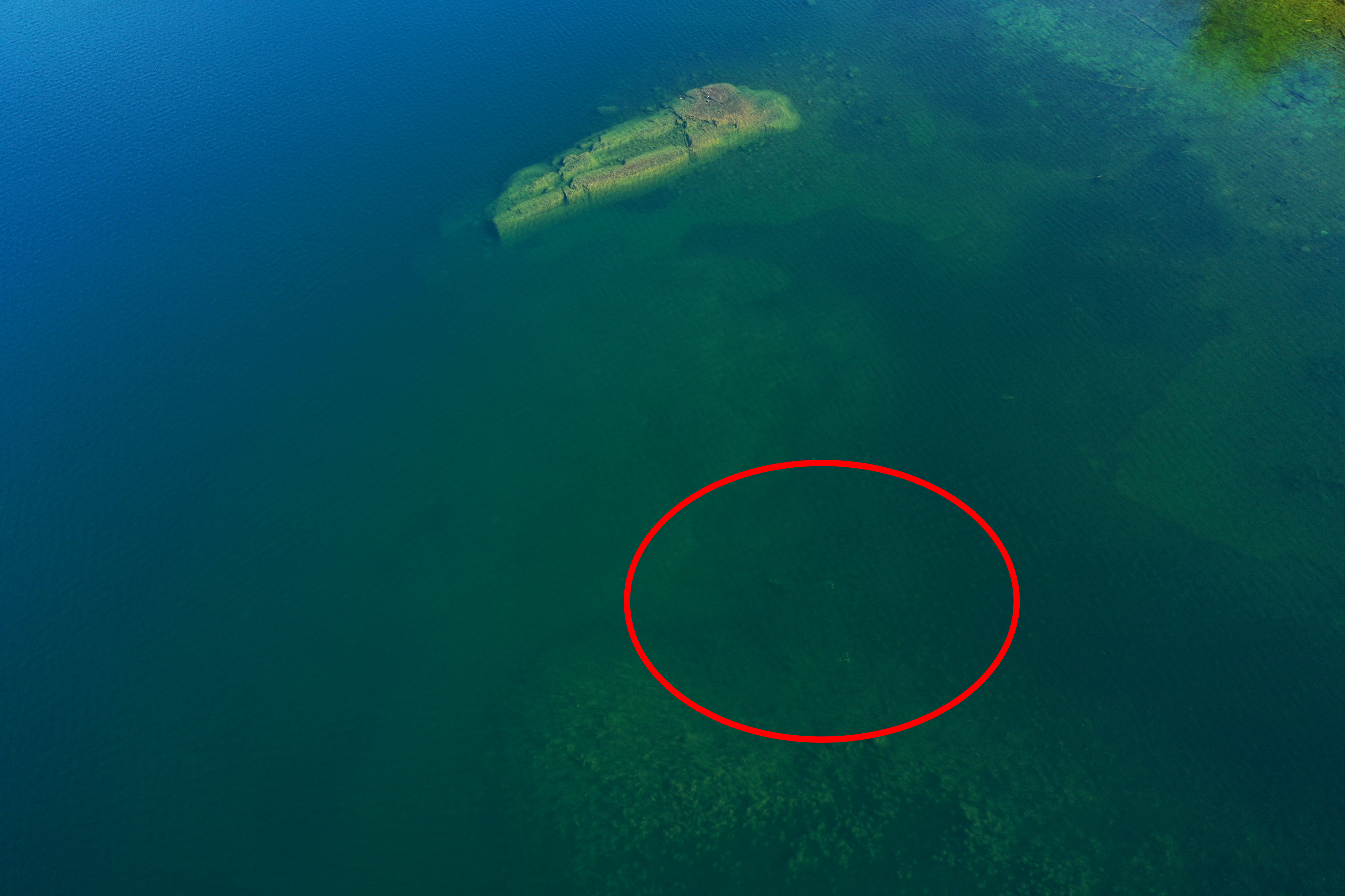
Crown Point Bay and Beach (with underwater rock shoal) |
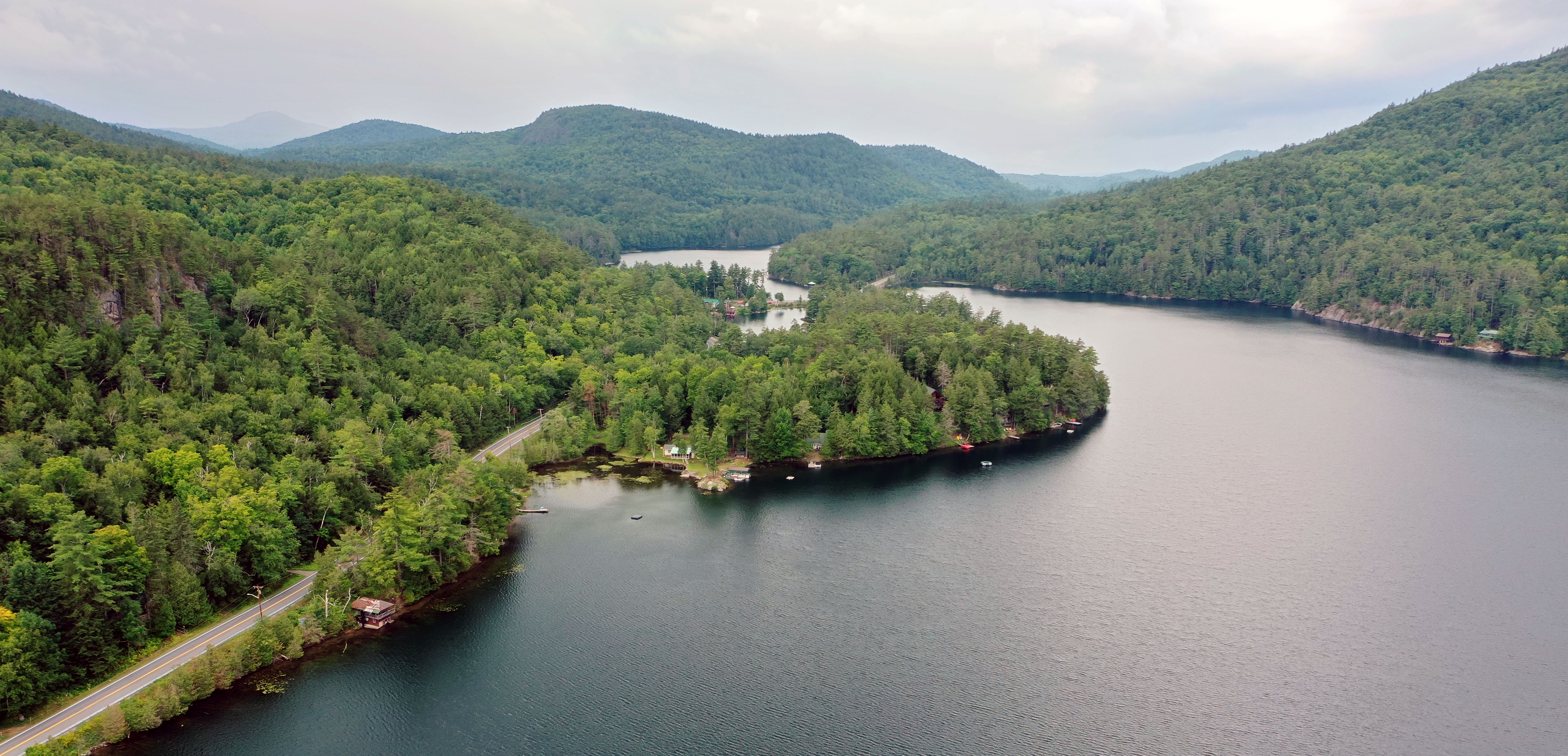 |
Eagle Cliff, Herd Point looking West |
 |
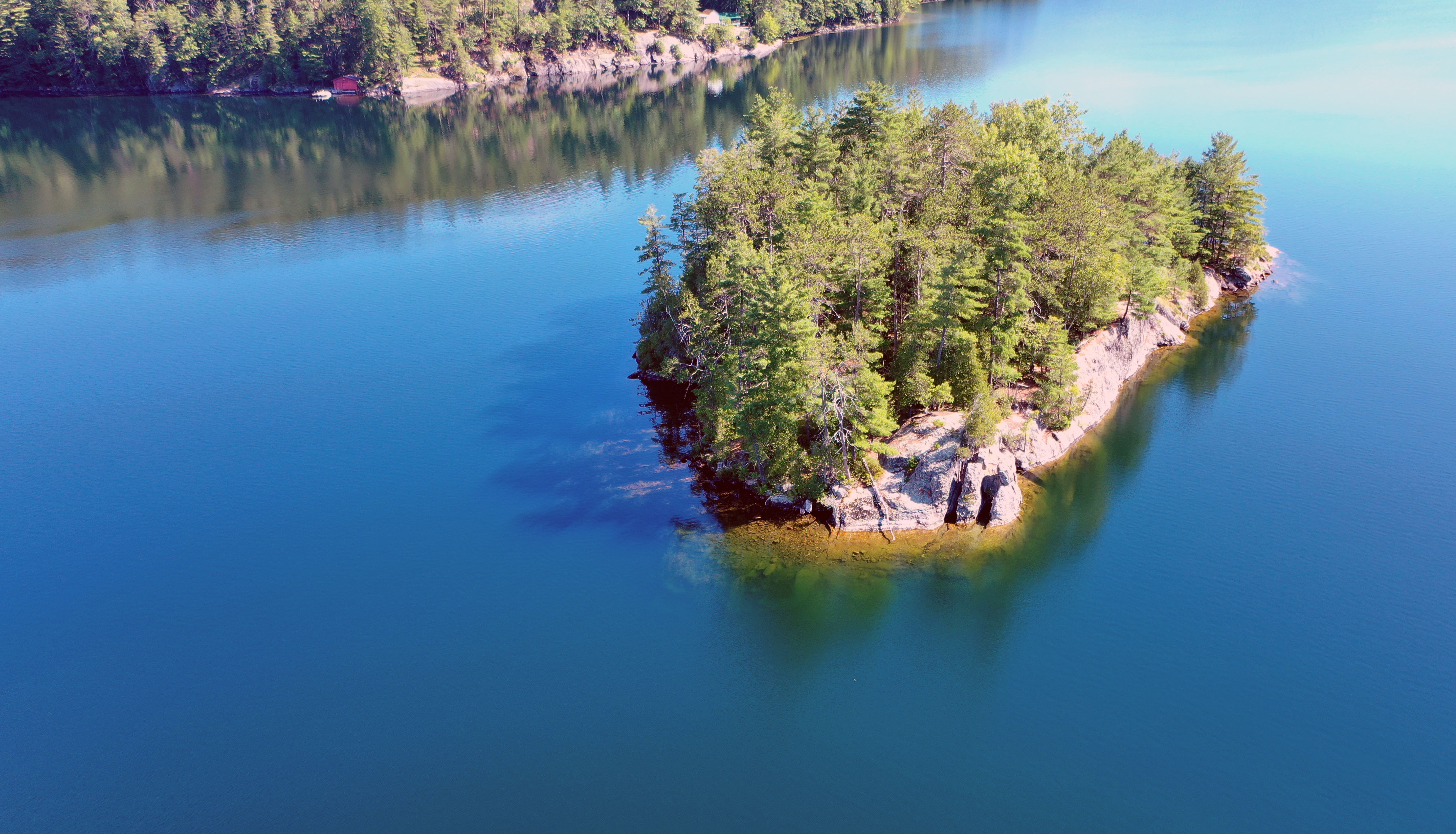
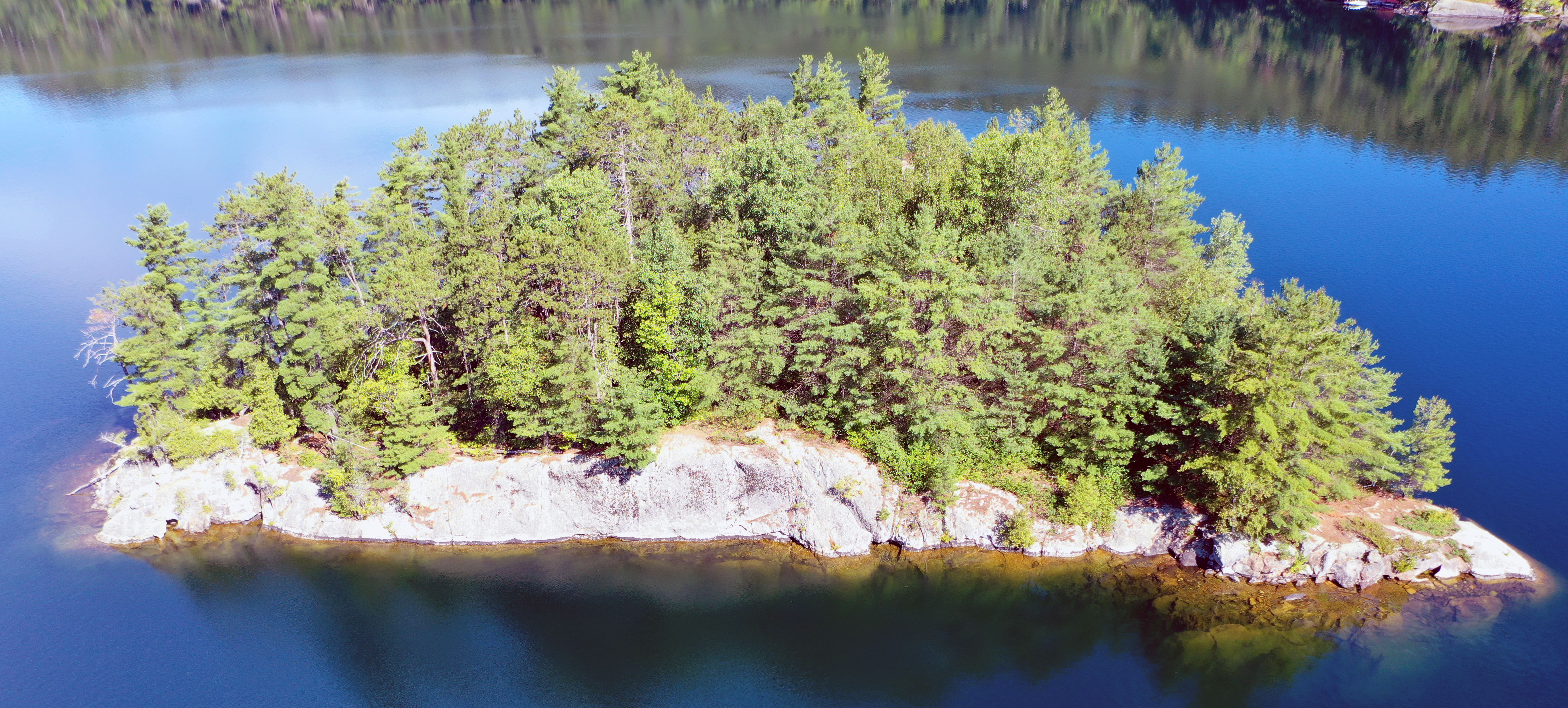
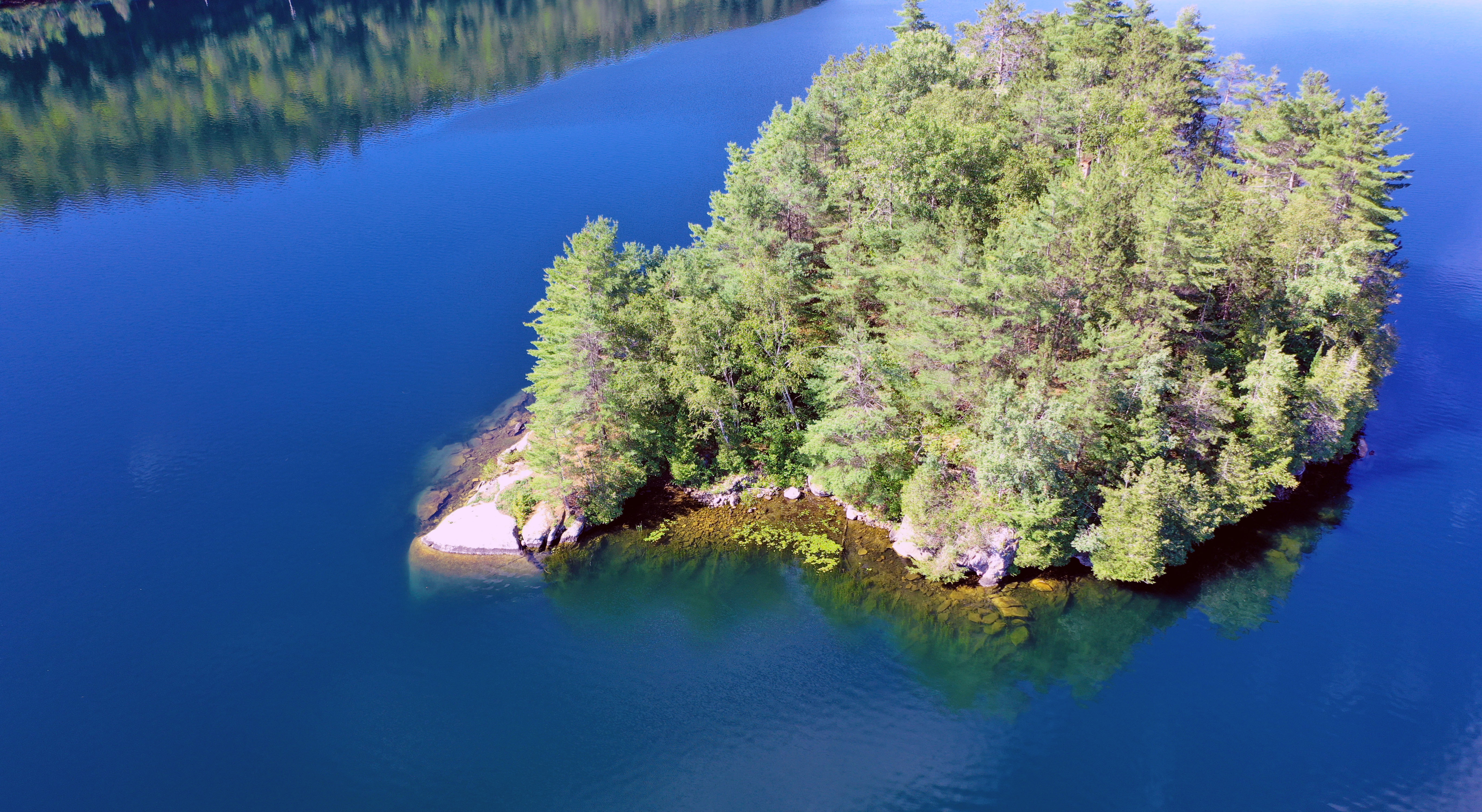
Turtle Island |
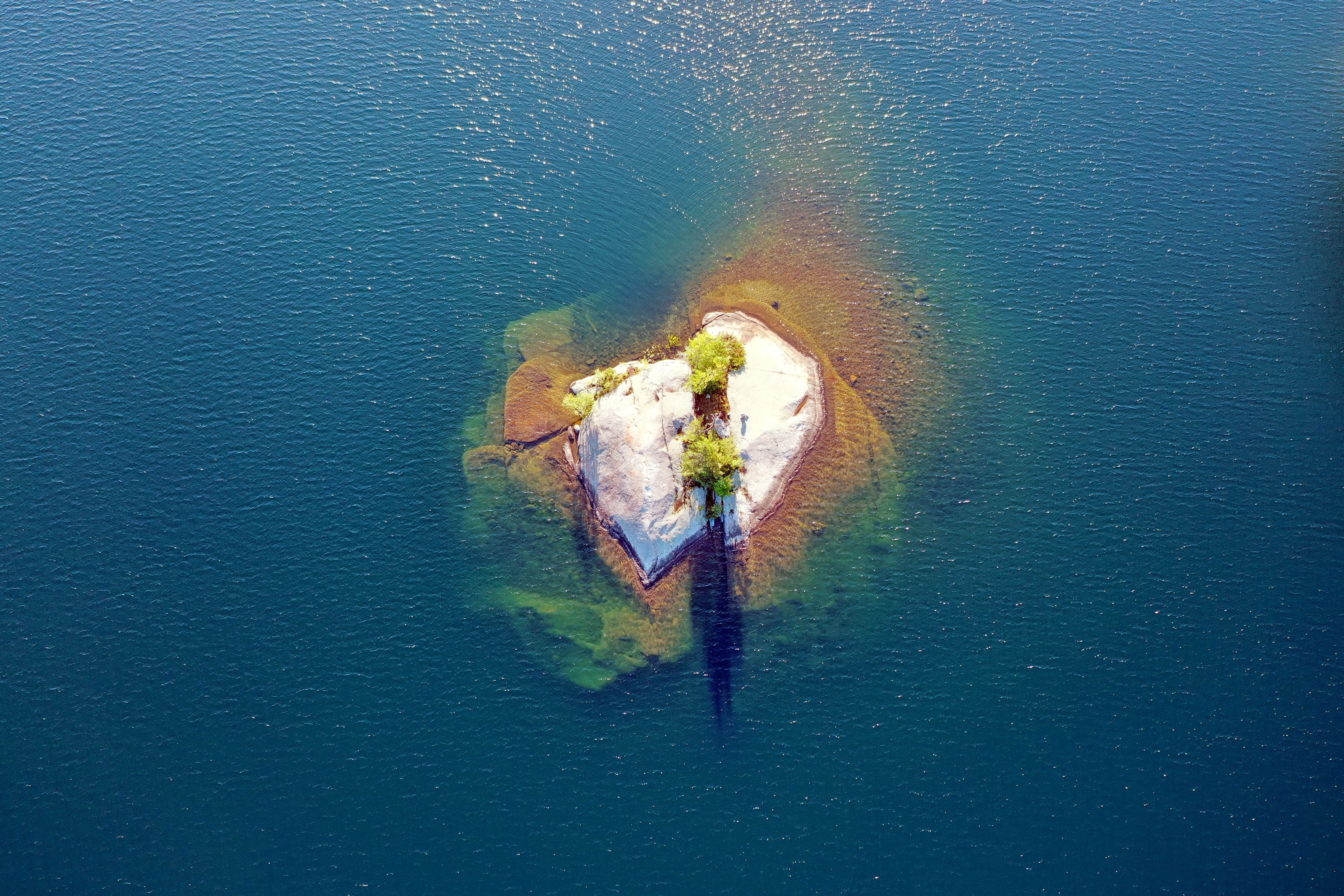 |
Turtle Island, with underwater portions visibile |
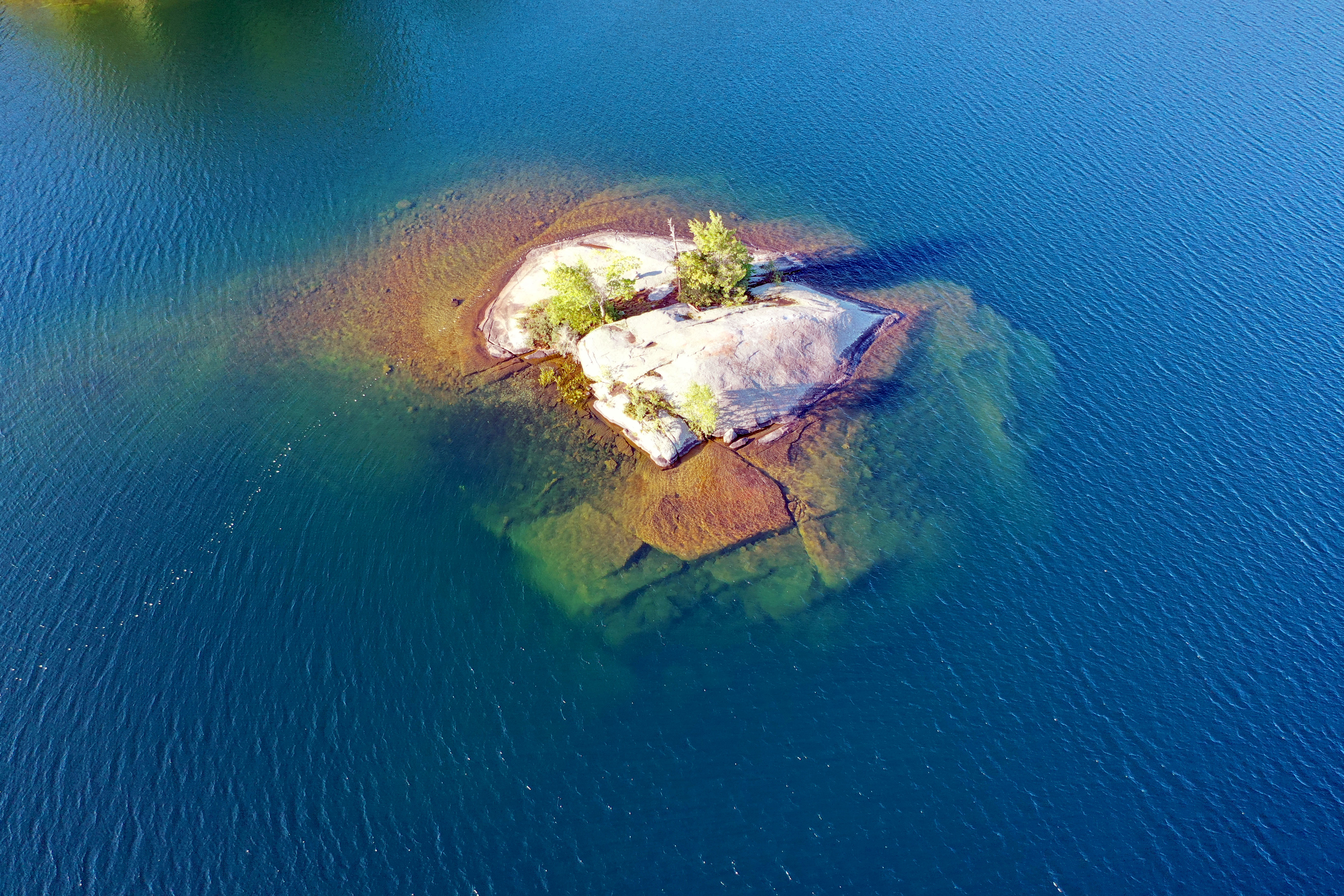 |
Turtle Island, with underwater portions visibile |
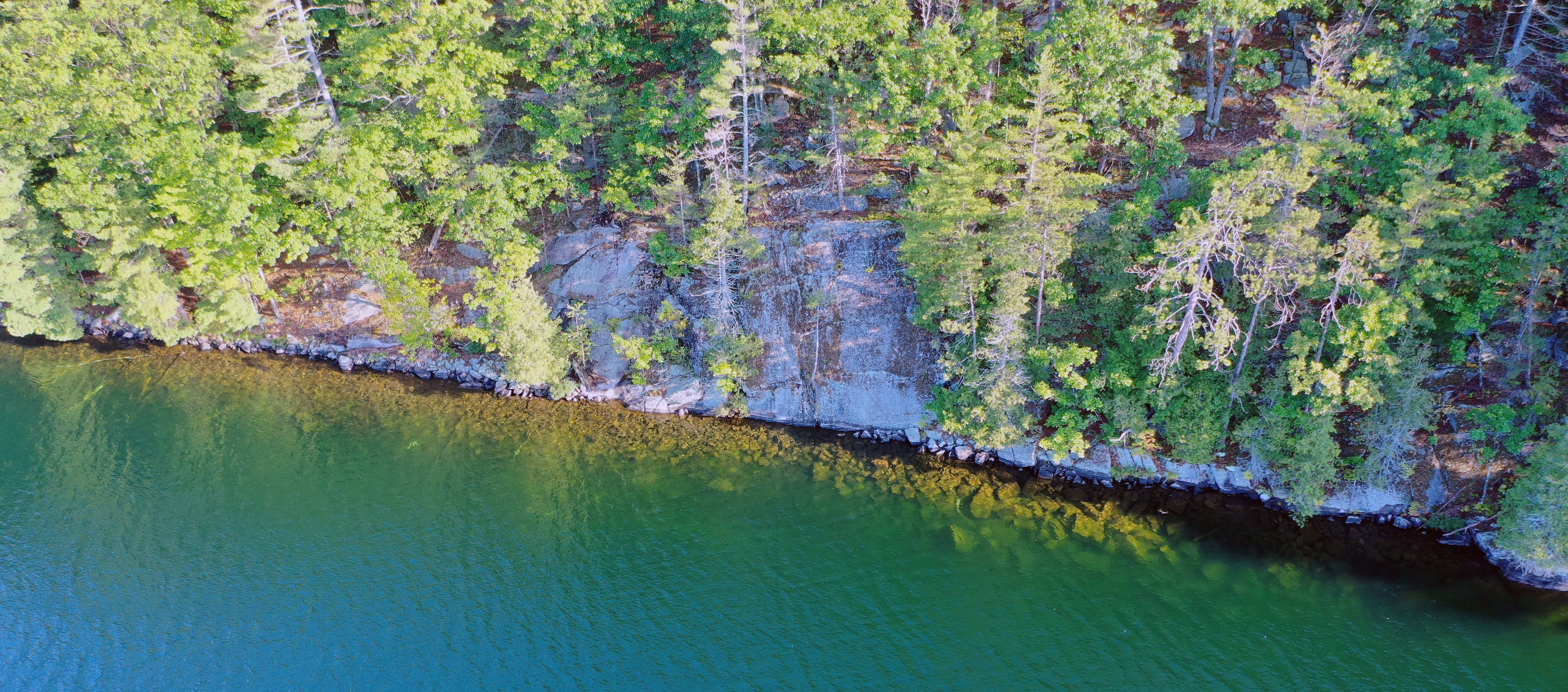 |
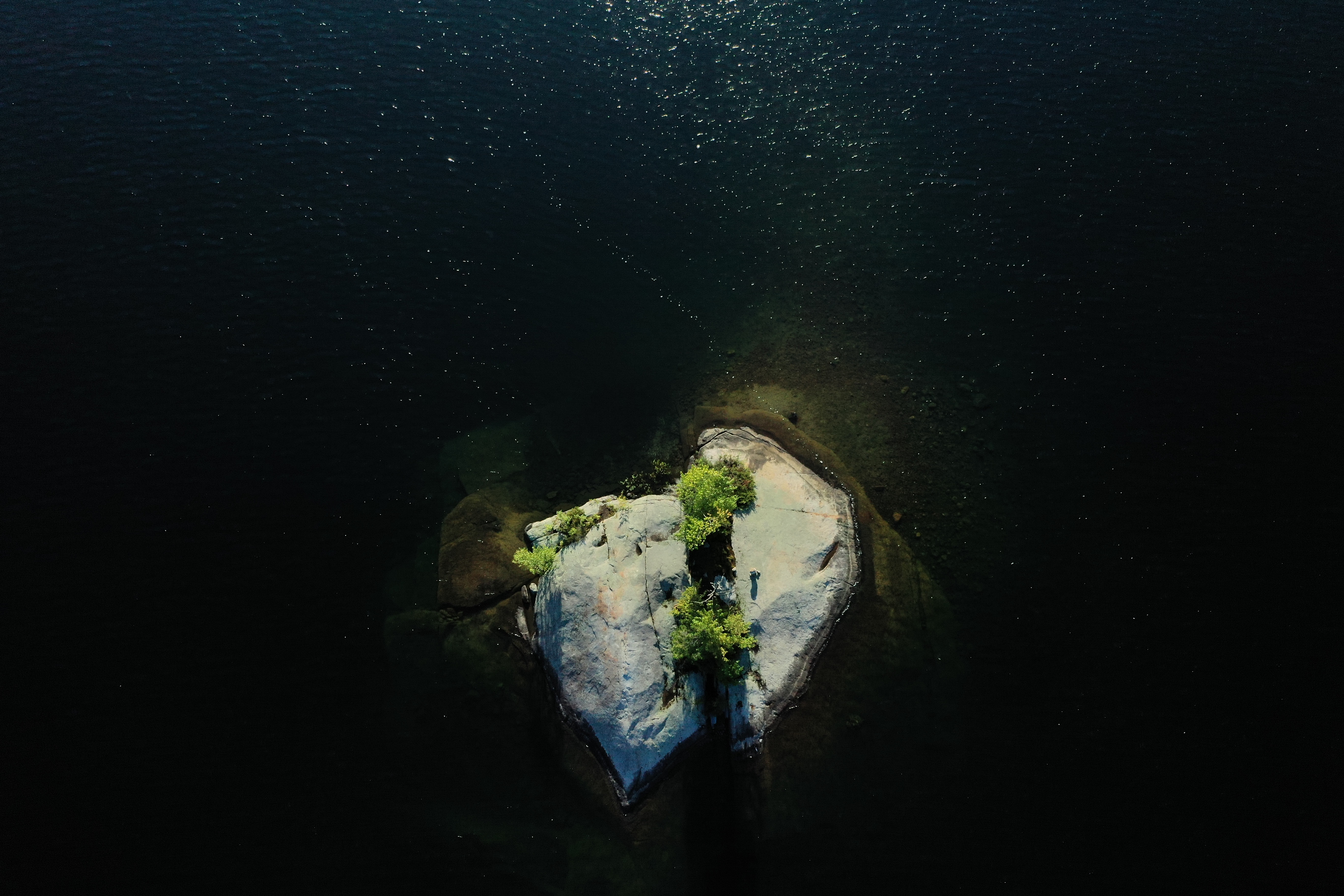
North Shore cliff with underwater boulders |
 |
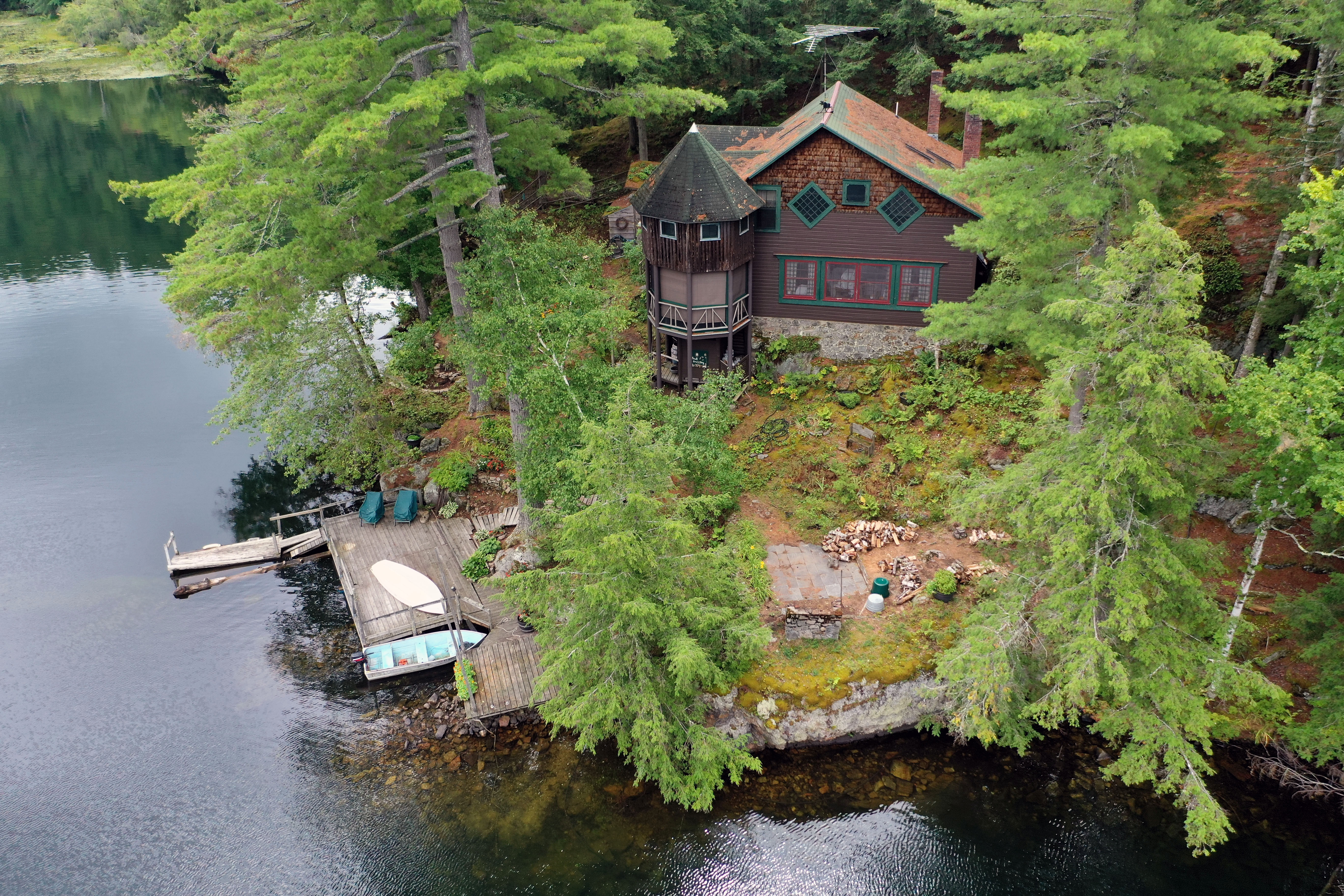
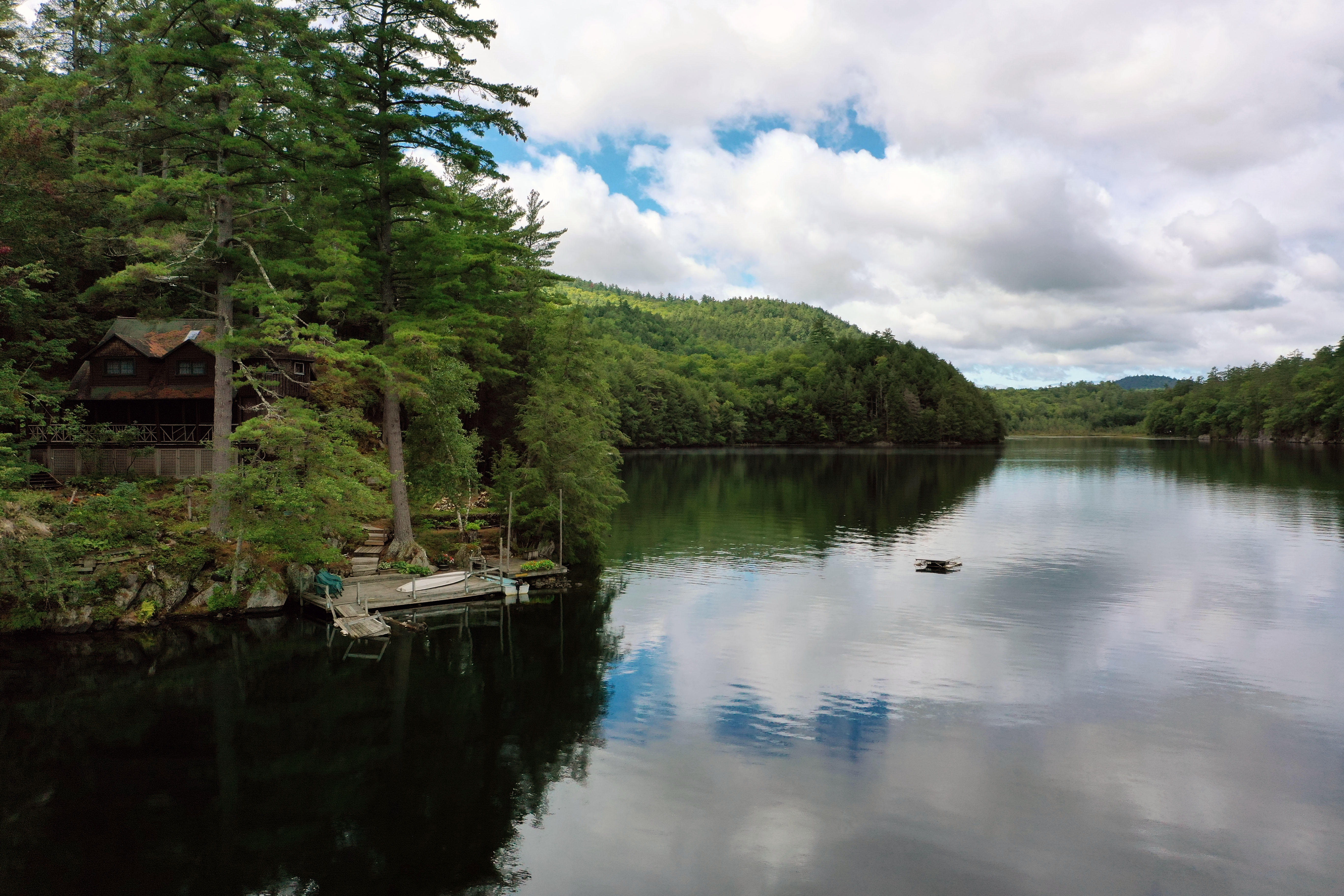
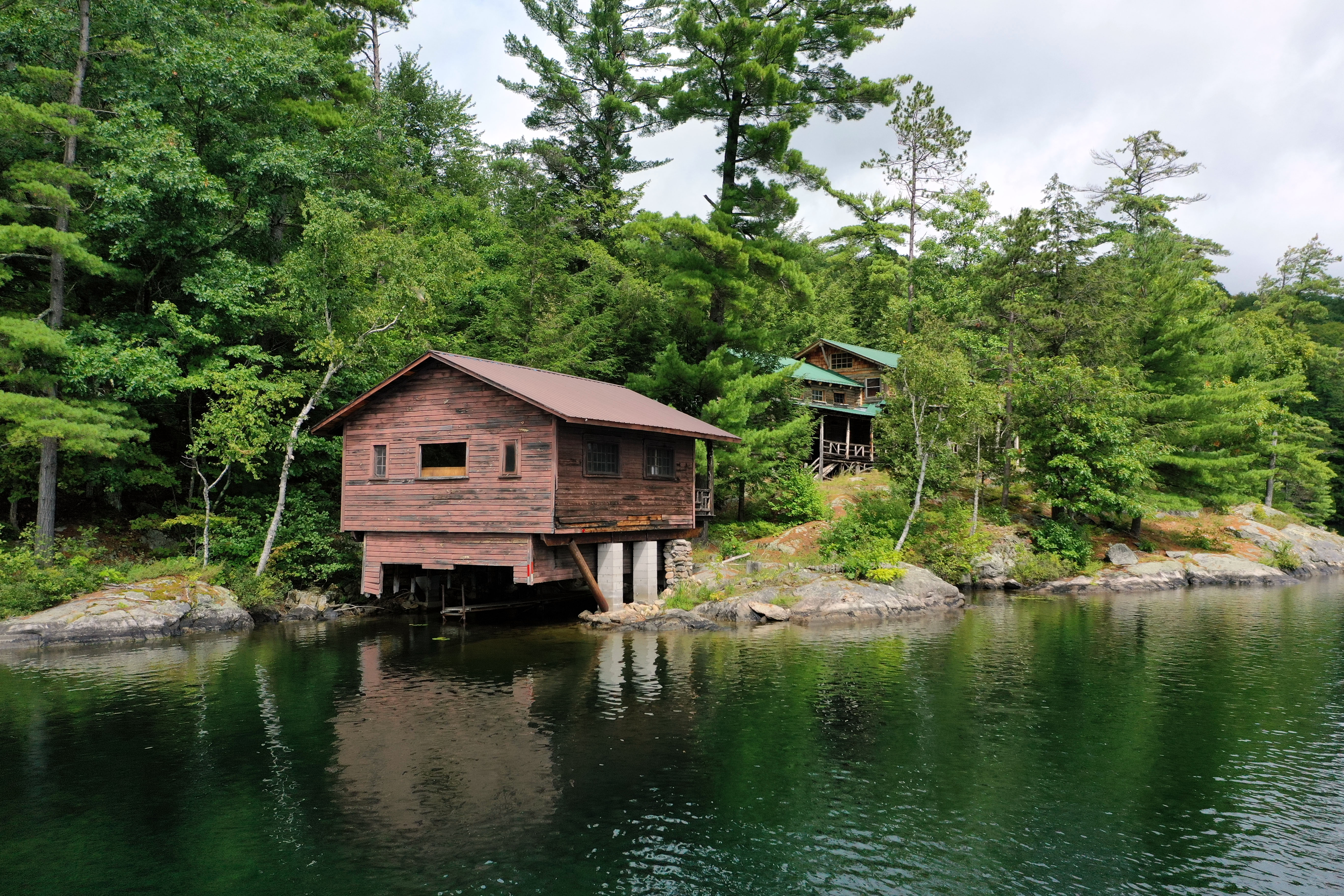
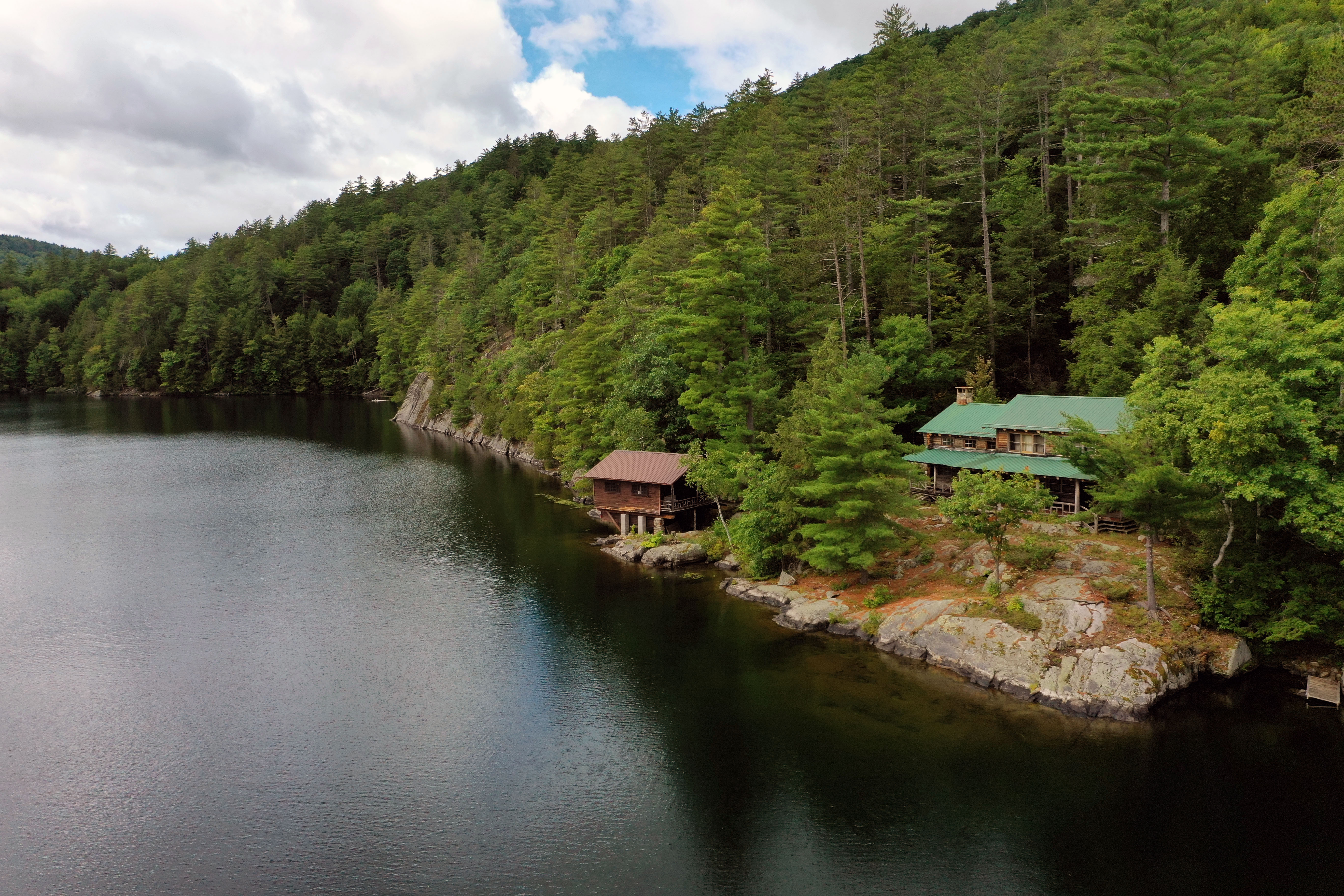
Tiedemann Boat House looking East |
 |
Eagle Cliff (South Shore) |
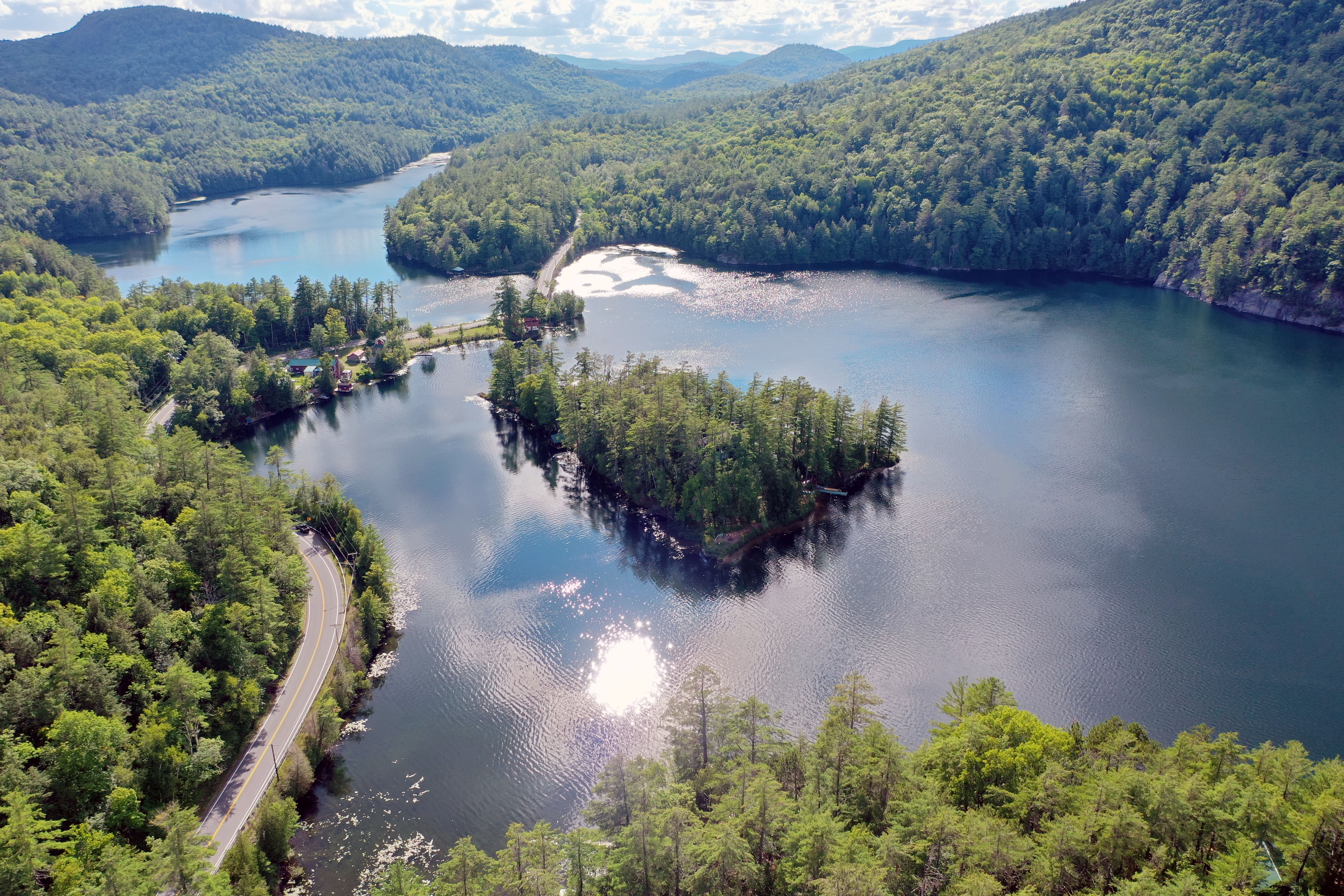 |
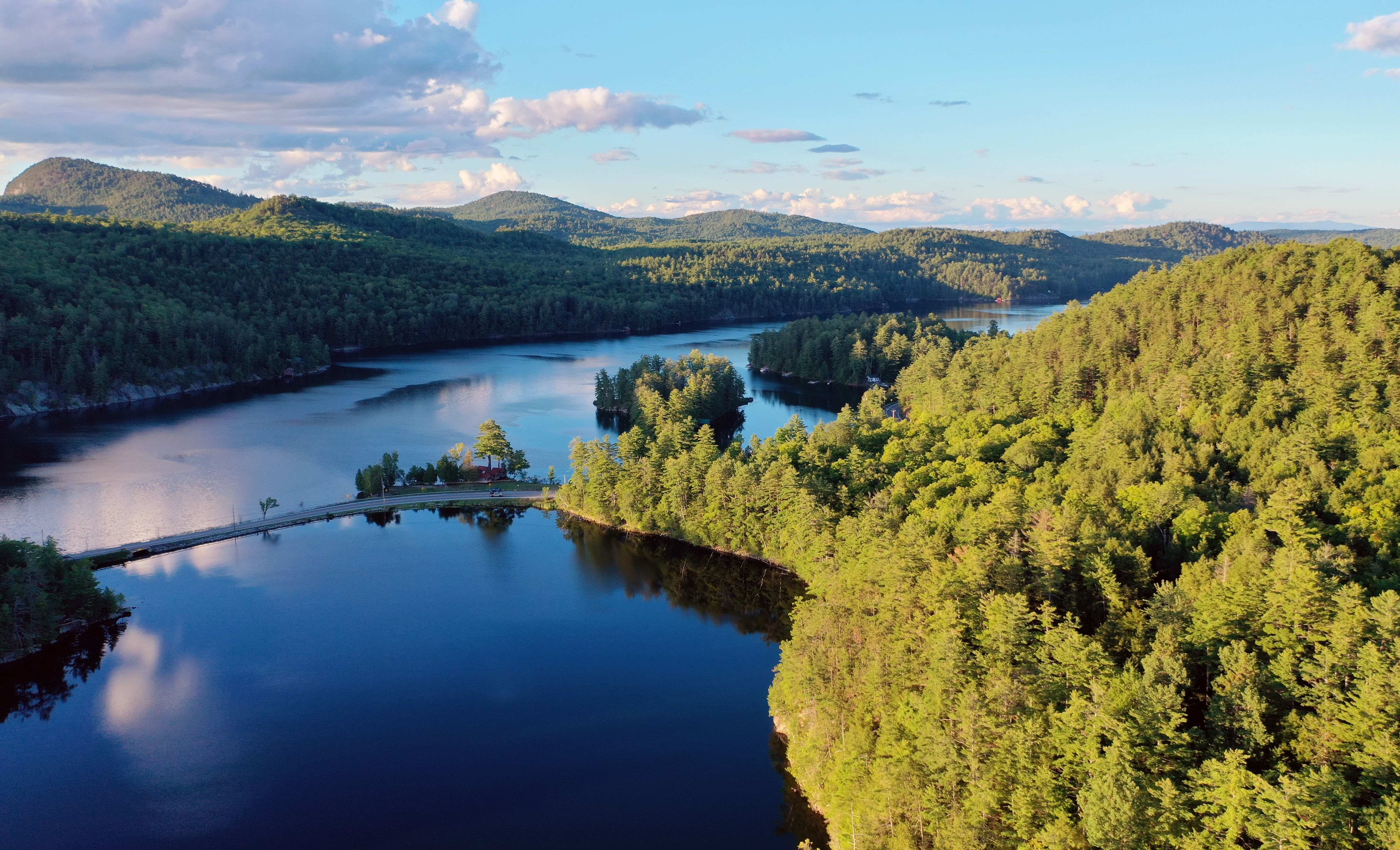
Fox Island, Causeway looking West over Herd Point |
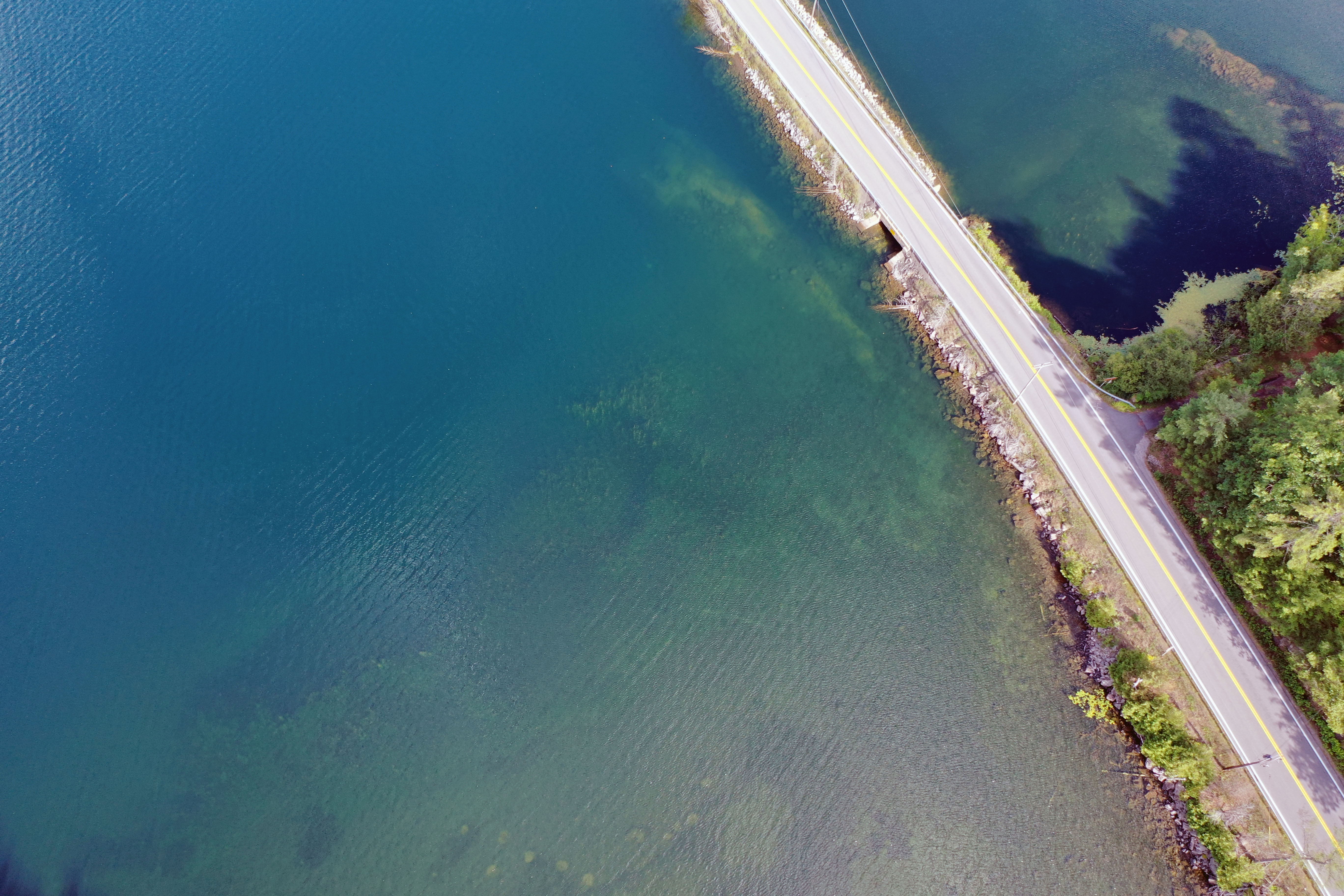 |
Rt. 74 Causeway |
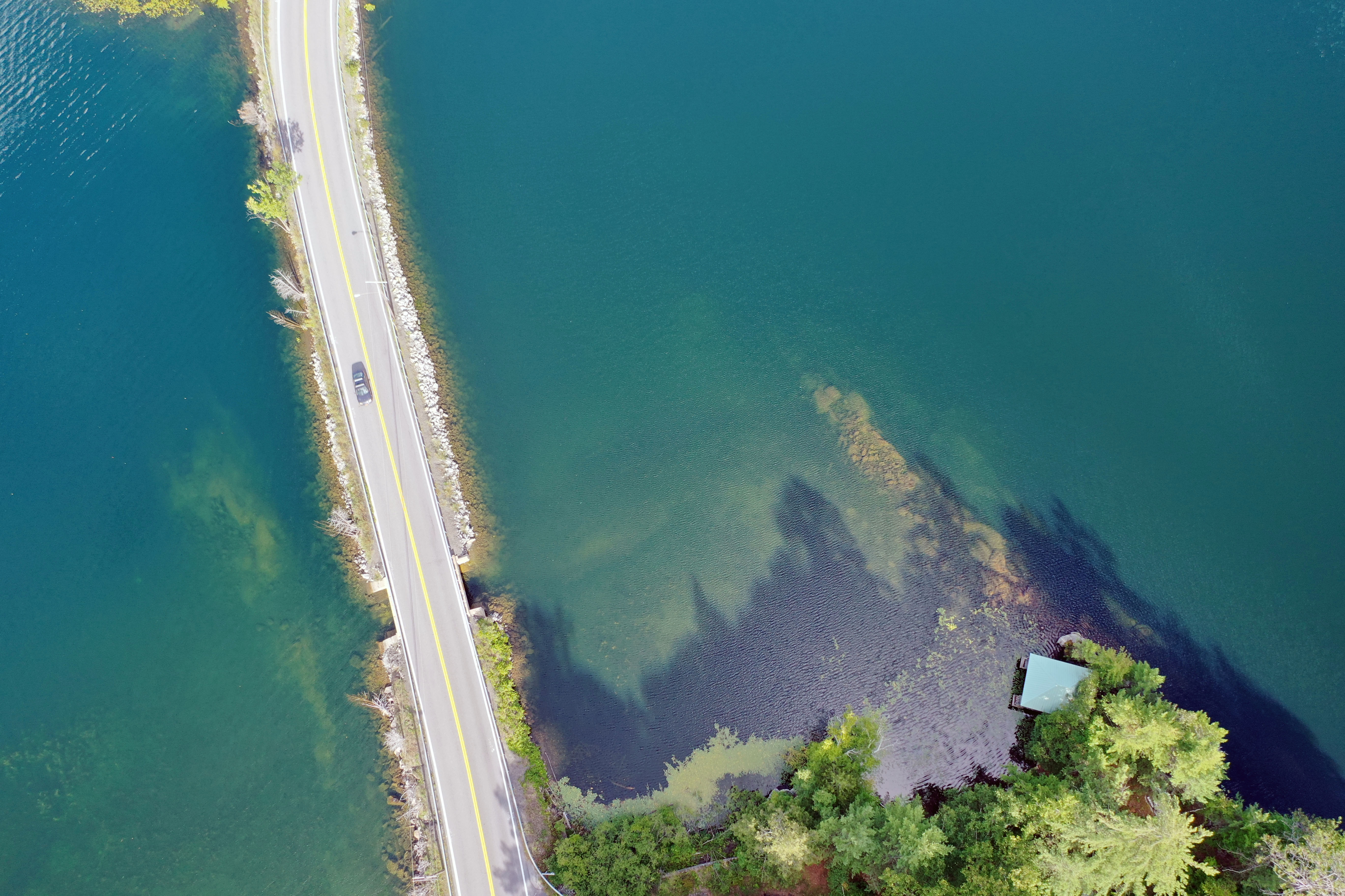 |
Rt. 74 Causeway and underwater shoal |
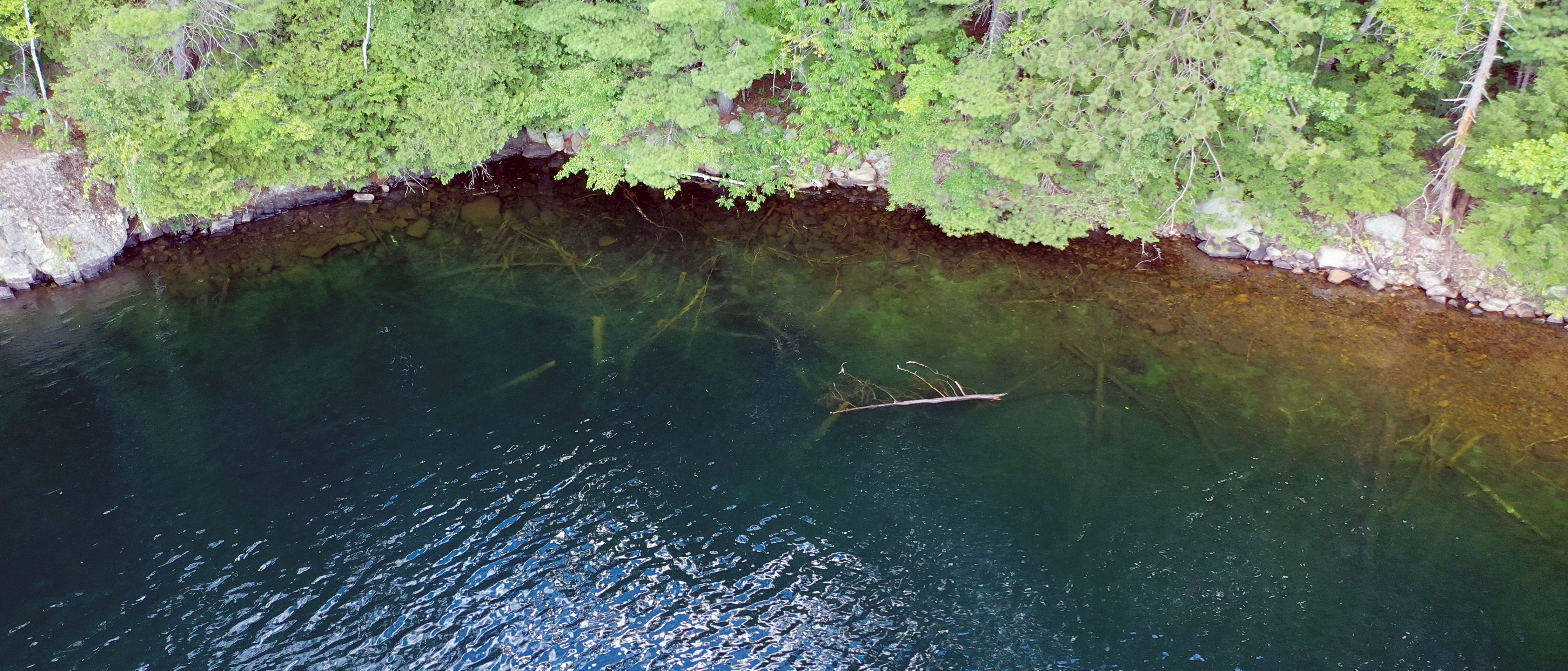 |
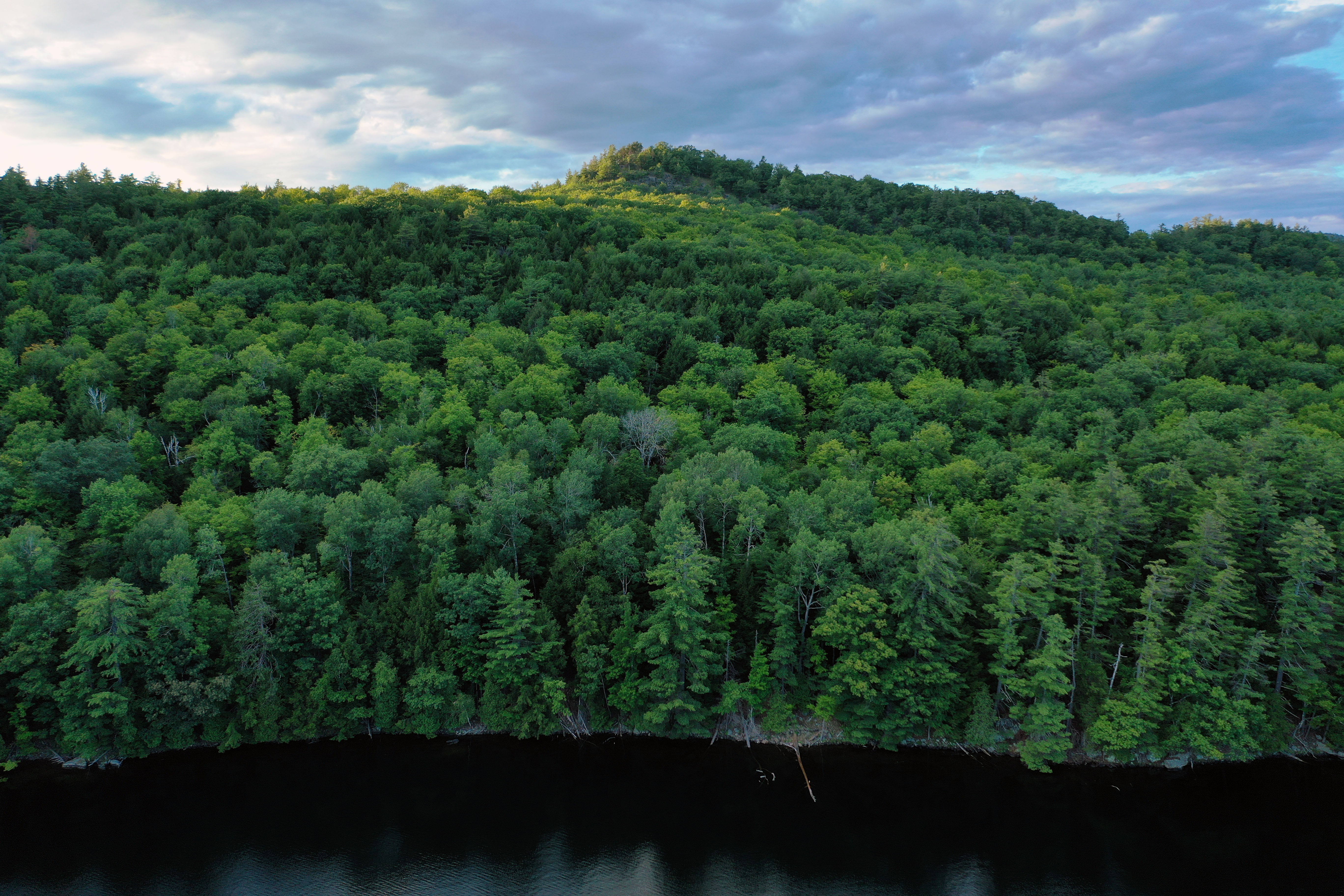
Fallen Trees, North Shore |
 |
Looking West at the Boat Launch |
 |
Herd Point, Causeway, Fox Island, "Camels Head Mountain" looking East over the South Shore |
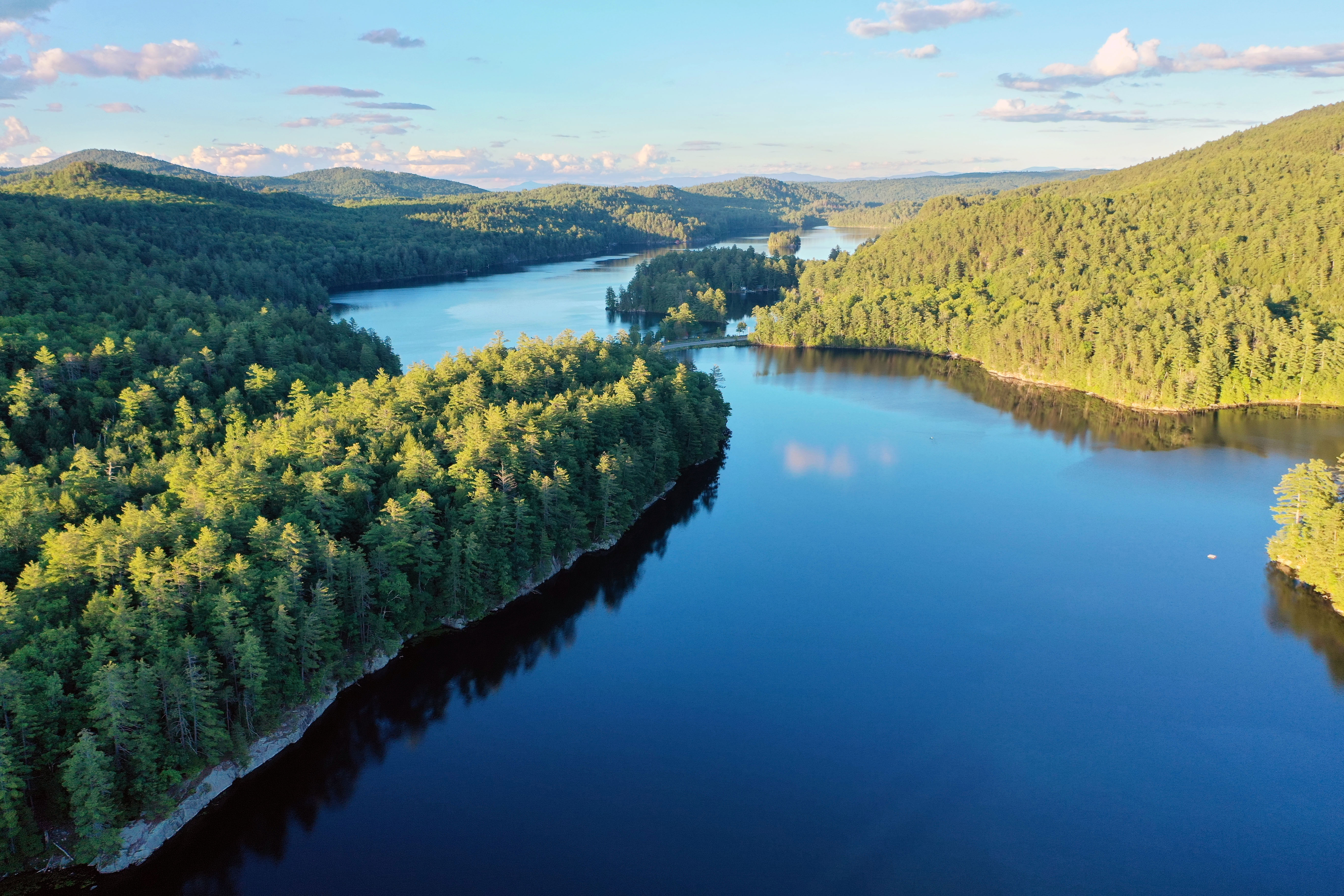 |
Herd Point, Causeway, Fox Island looking East |
 |
Looking East over the North Shore |
 |
Looking West over the North Shore |
 |
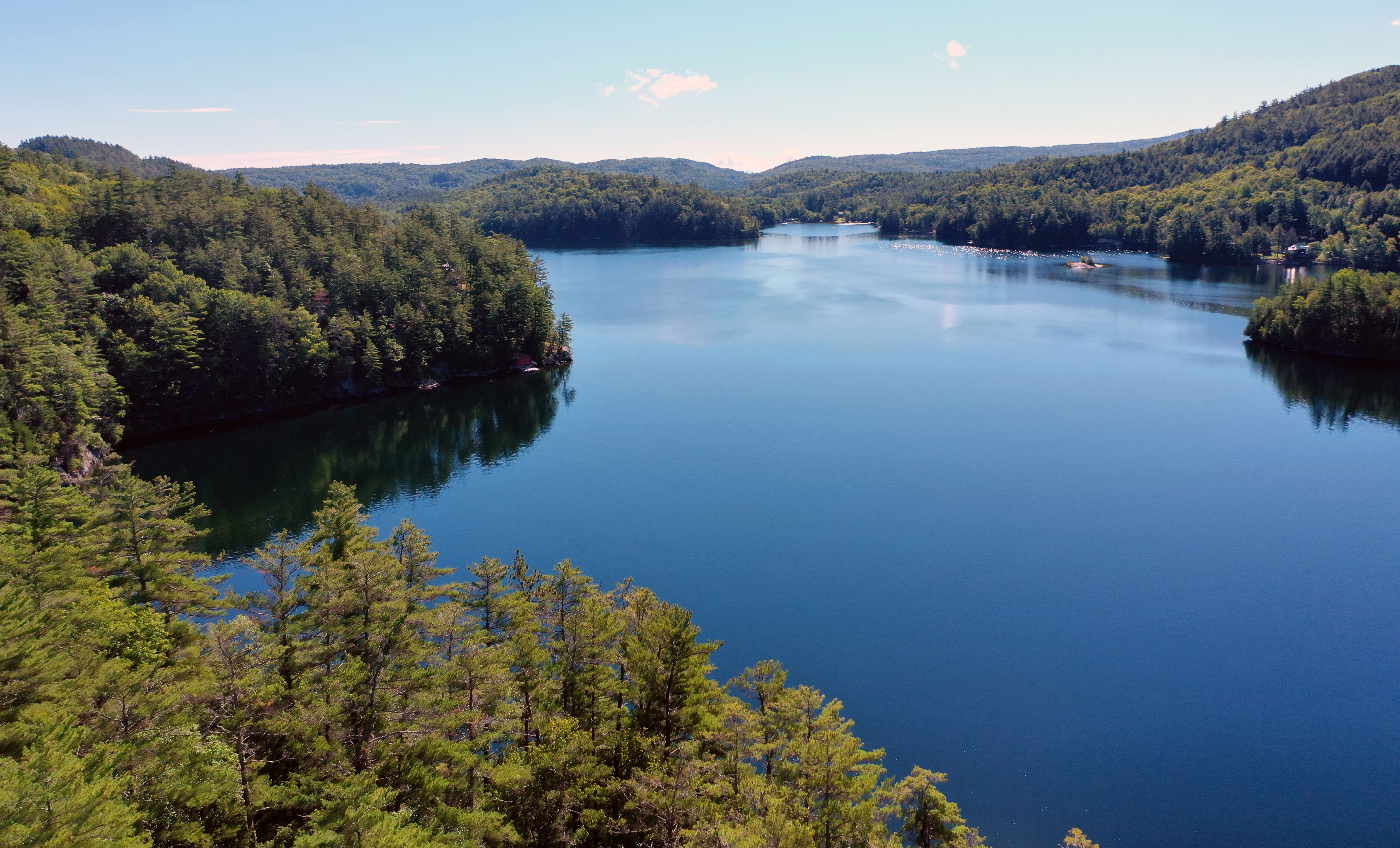
South Shore Panorama |
 |
Underwater Rock at Crown Point Beach |
 |
Underwater Debris, Crown Point Bay Entrance |
 |
Underwater Debris, Crown Point Bay |
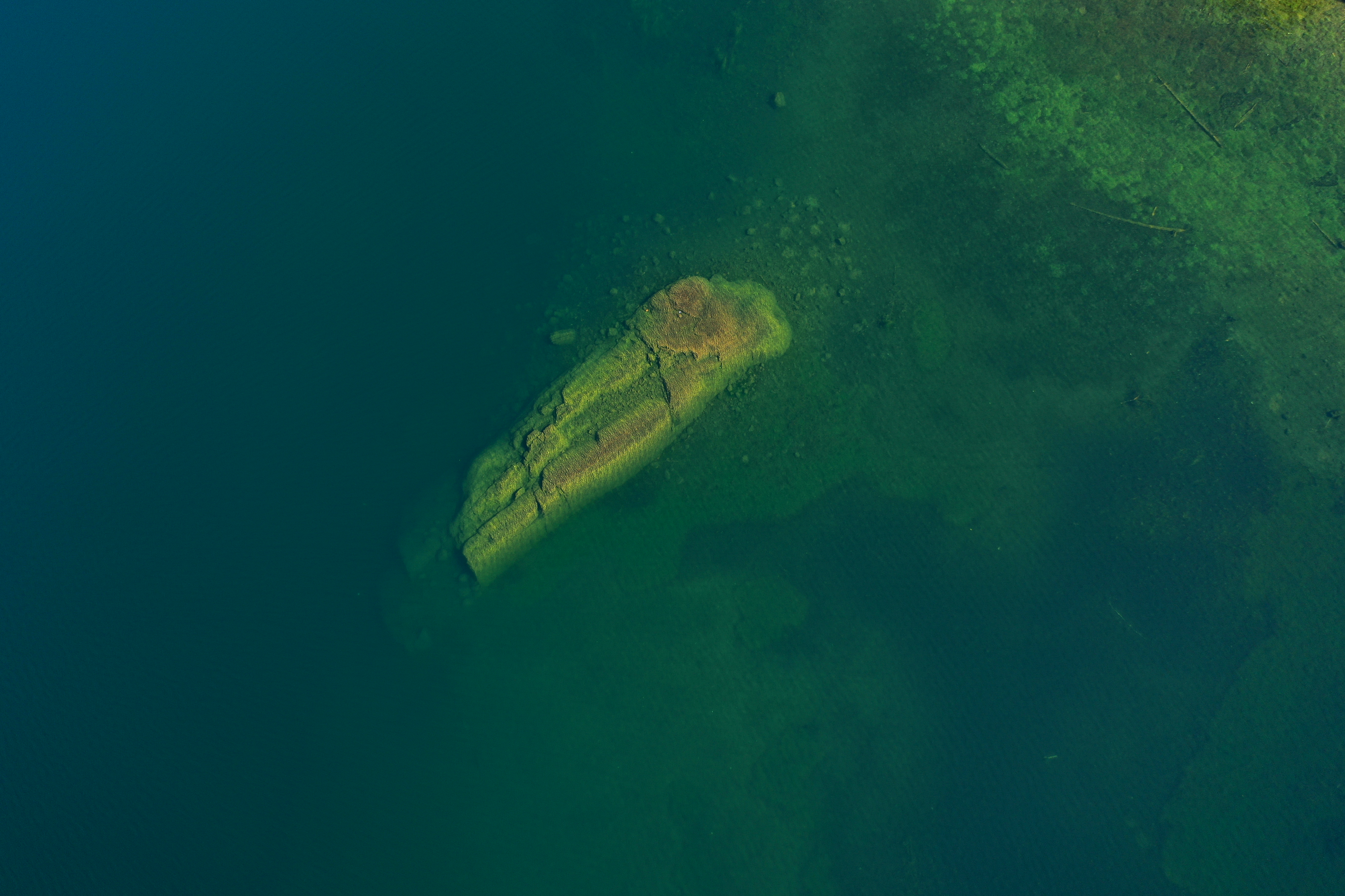 |
Underwater Rock at Crown Point Beach |
 |
Underwater Rock at Crown Point Beach |
 |
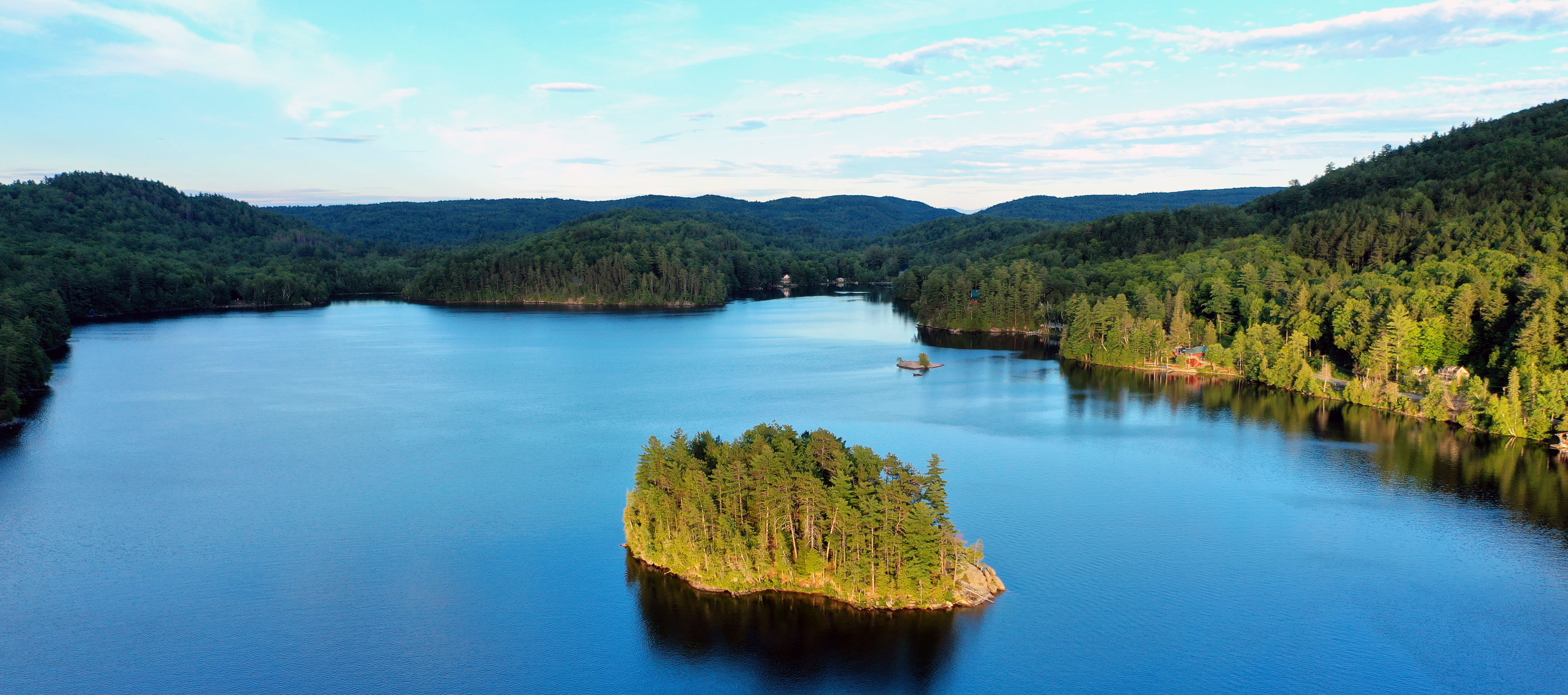
Charles Island looking East |
 |
Charles Island looking North |
 |
Charles Island looking West |
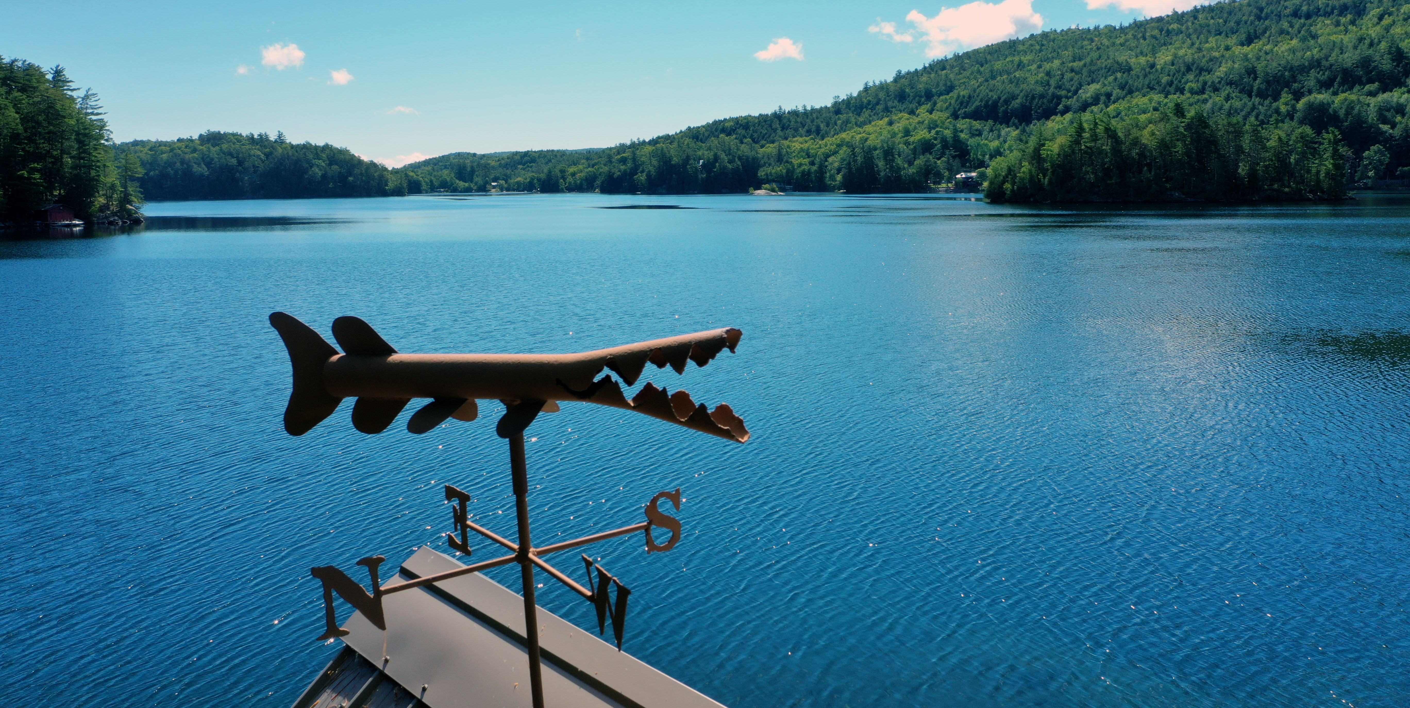 |
Tiedemann Boathouse Weather Vane Looking East |
 |
Charles Island, Crown Point and Ticonderoga Bays |
 |
"Camels Head Mountain" |
 |
"Camels Head Mountain" |
 |
Charles Island and the South Shore |
 |
Charles Island, Herd Point and the South Shore |
 |
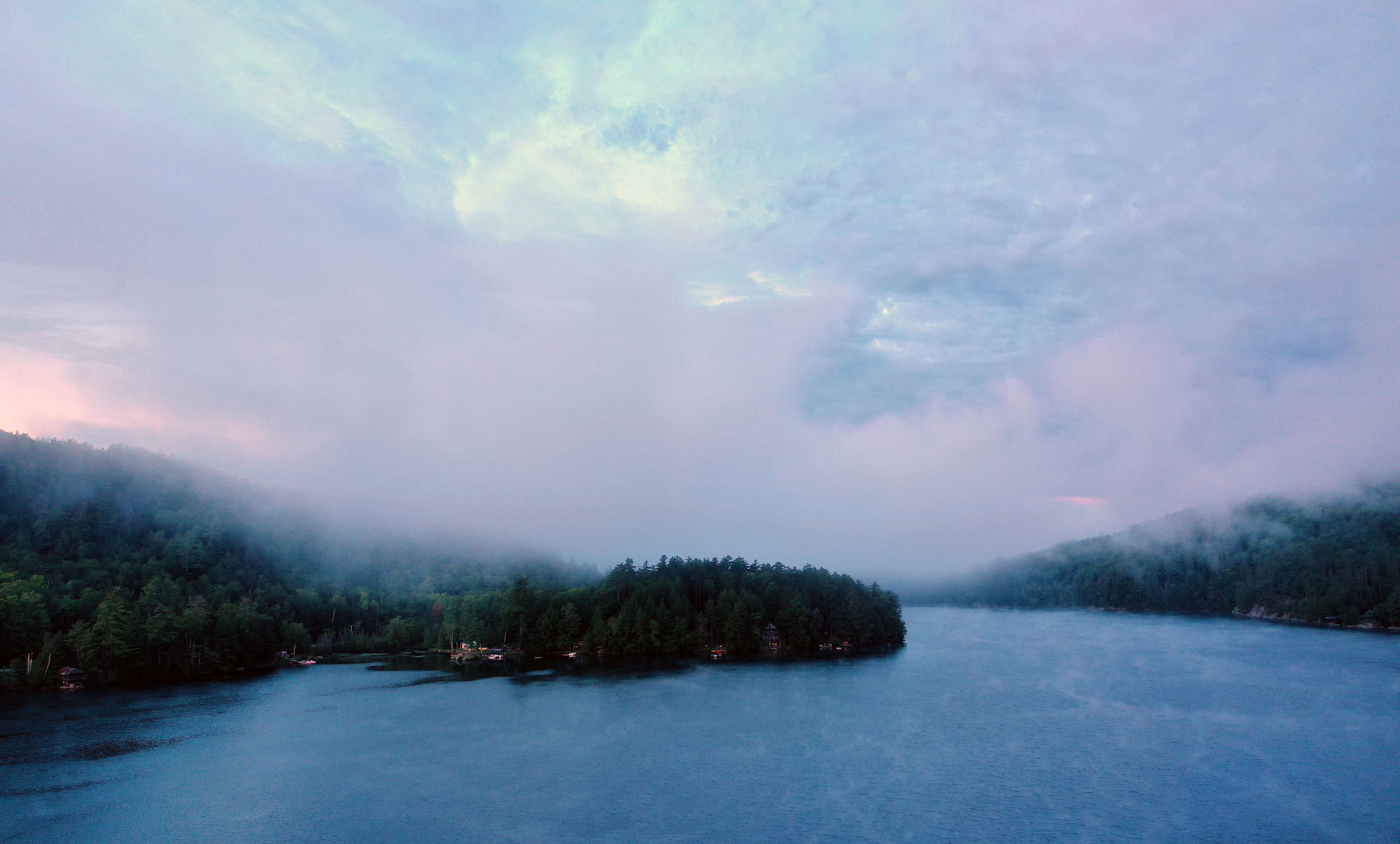
Low Clouds looking East at Crown Point Bay |
 |
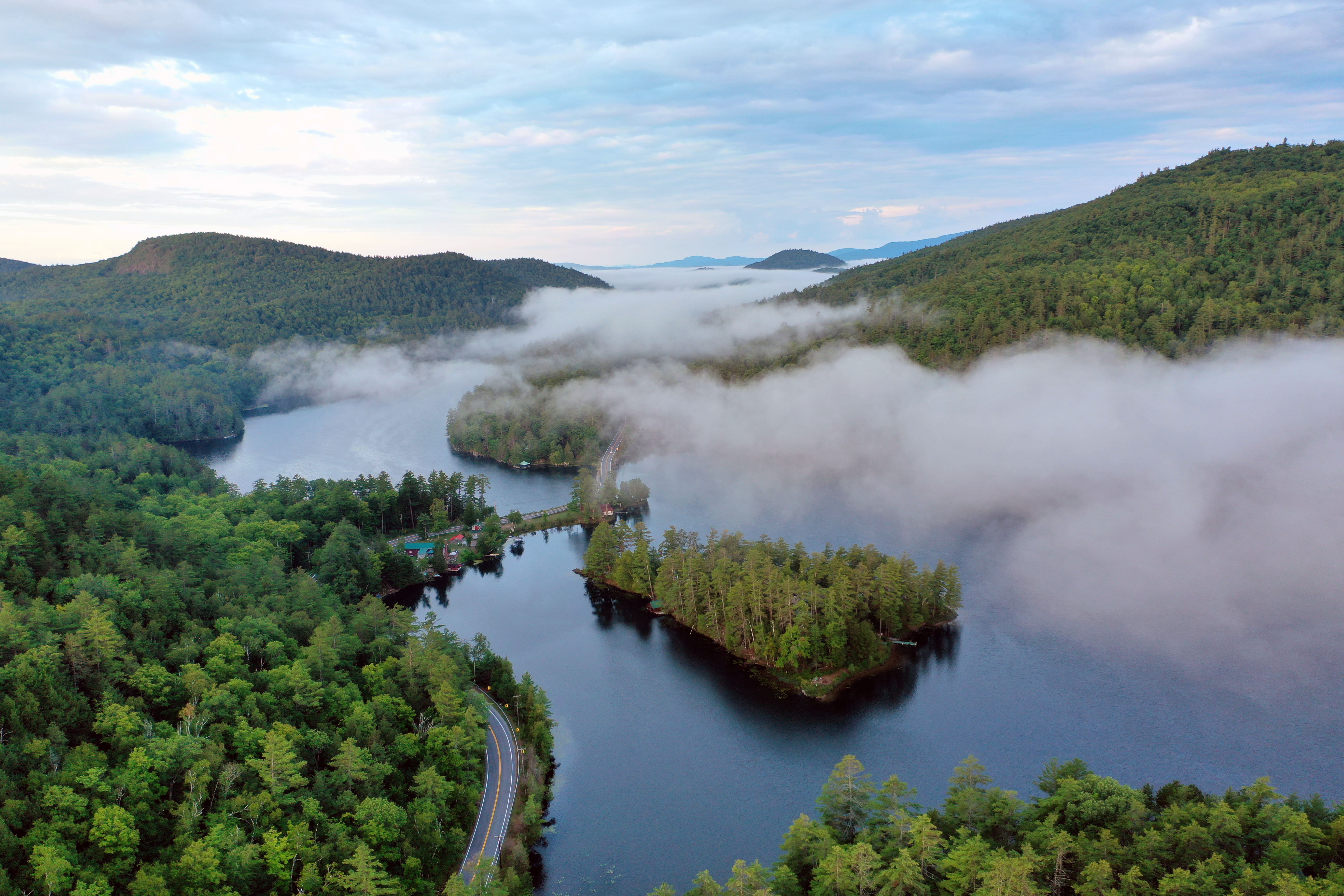
Low Clouds Looking West over Eagle Cliff towards Fox Island |
 |
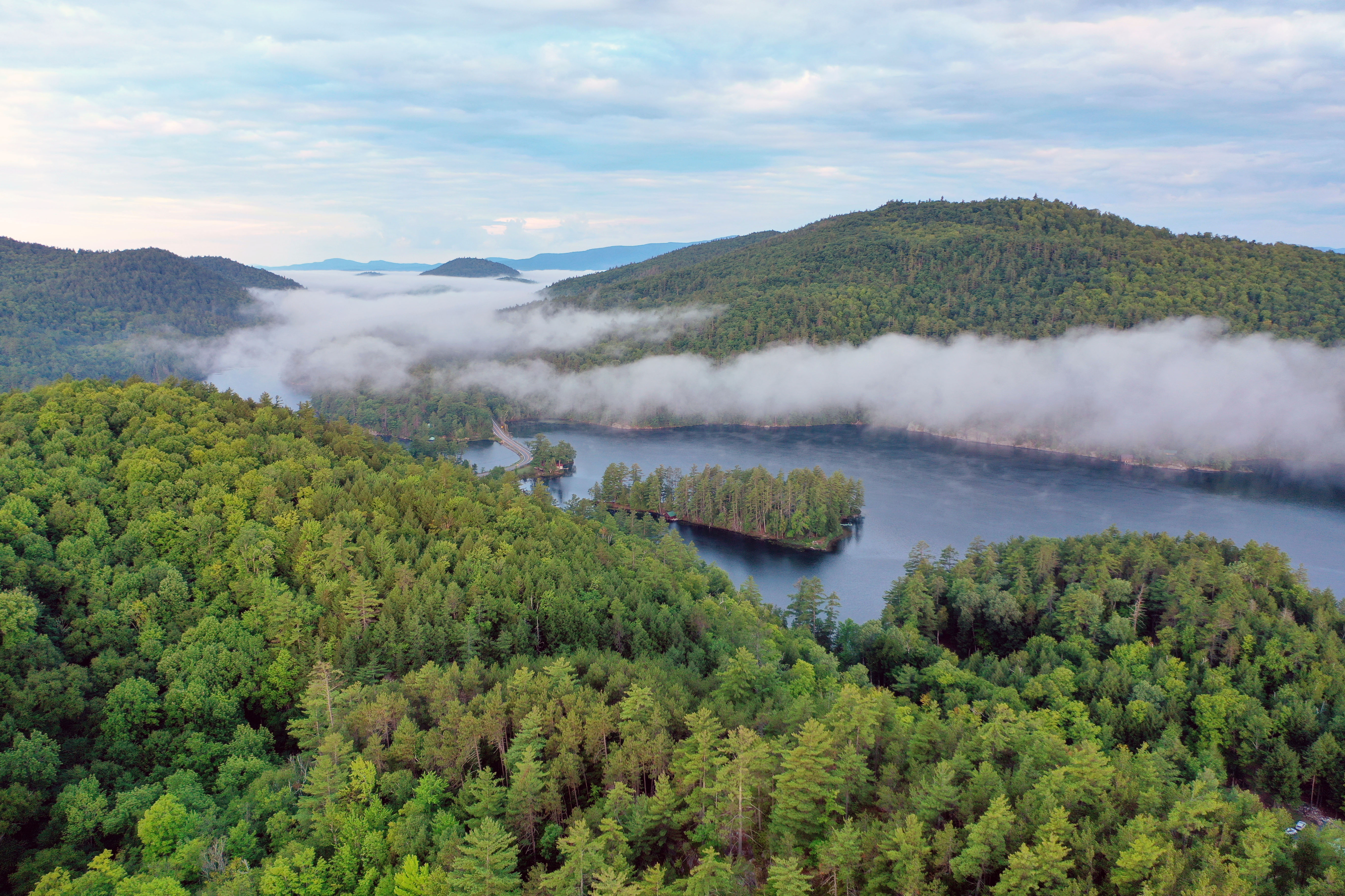
Low Clouds Looking West over Herd Point towards Fox Island |
 |
Low Clouds looking at Conklins Island |
 |
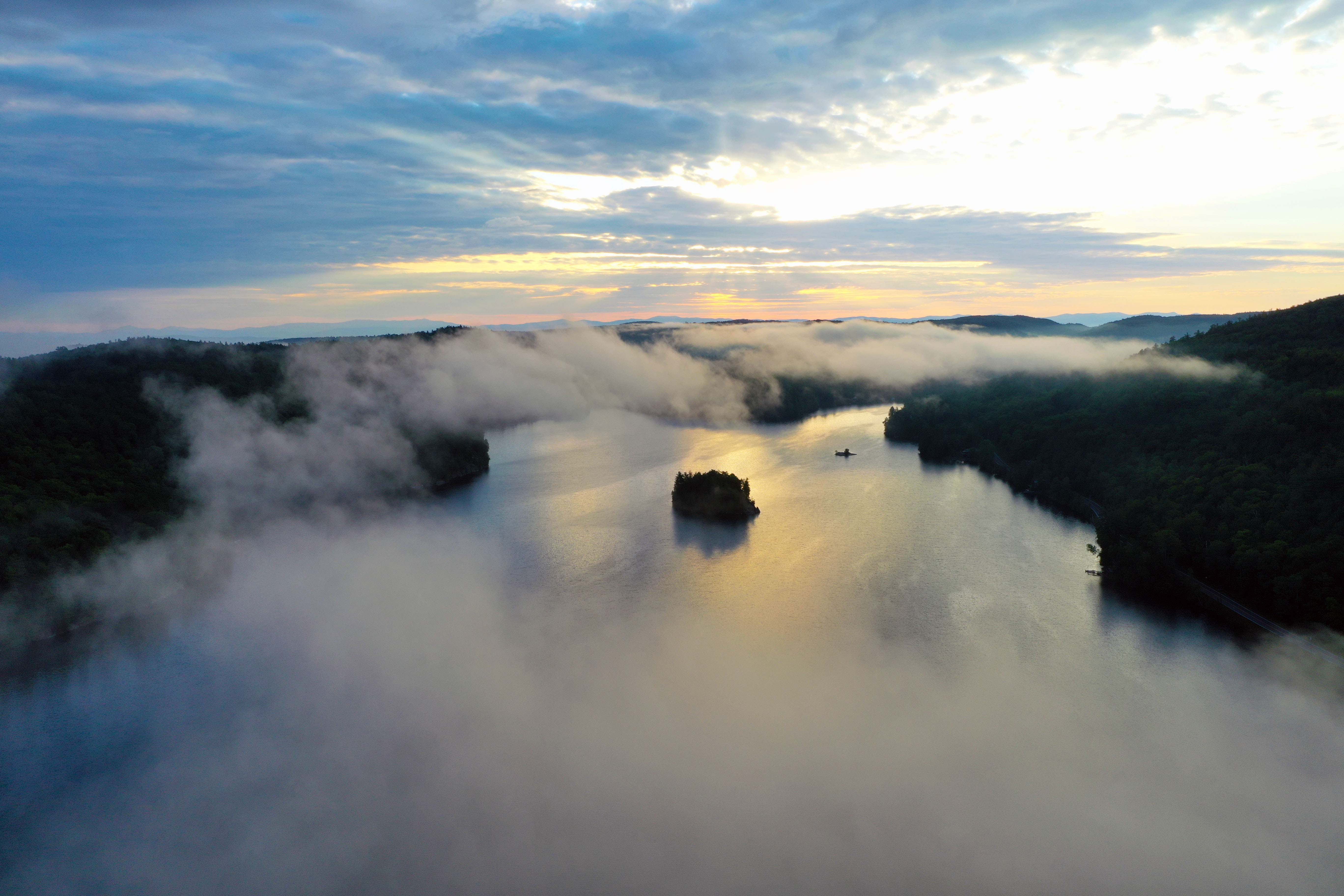
Looking East at sunrise over Conlins Island |
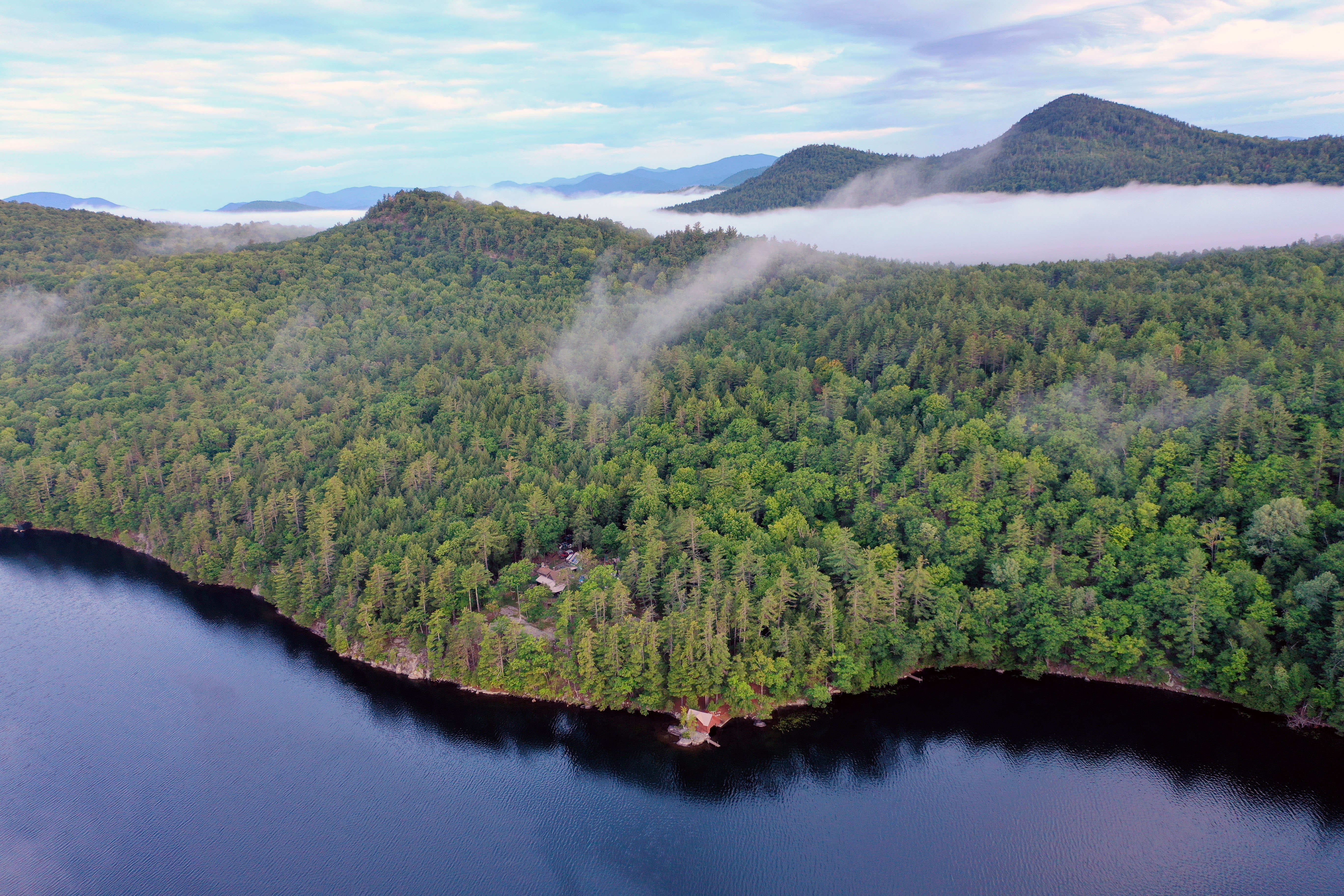 |
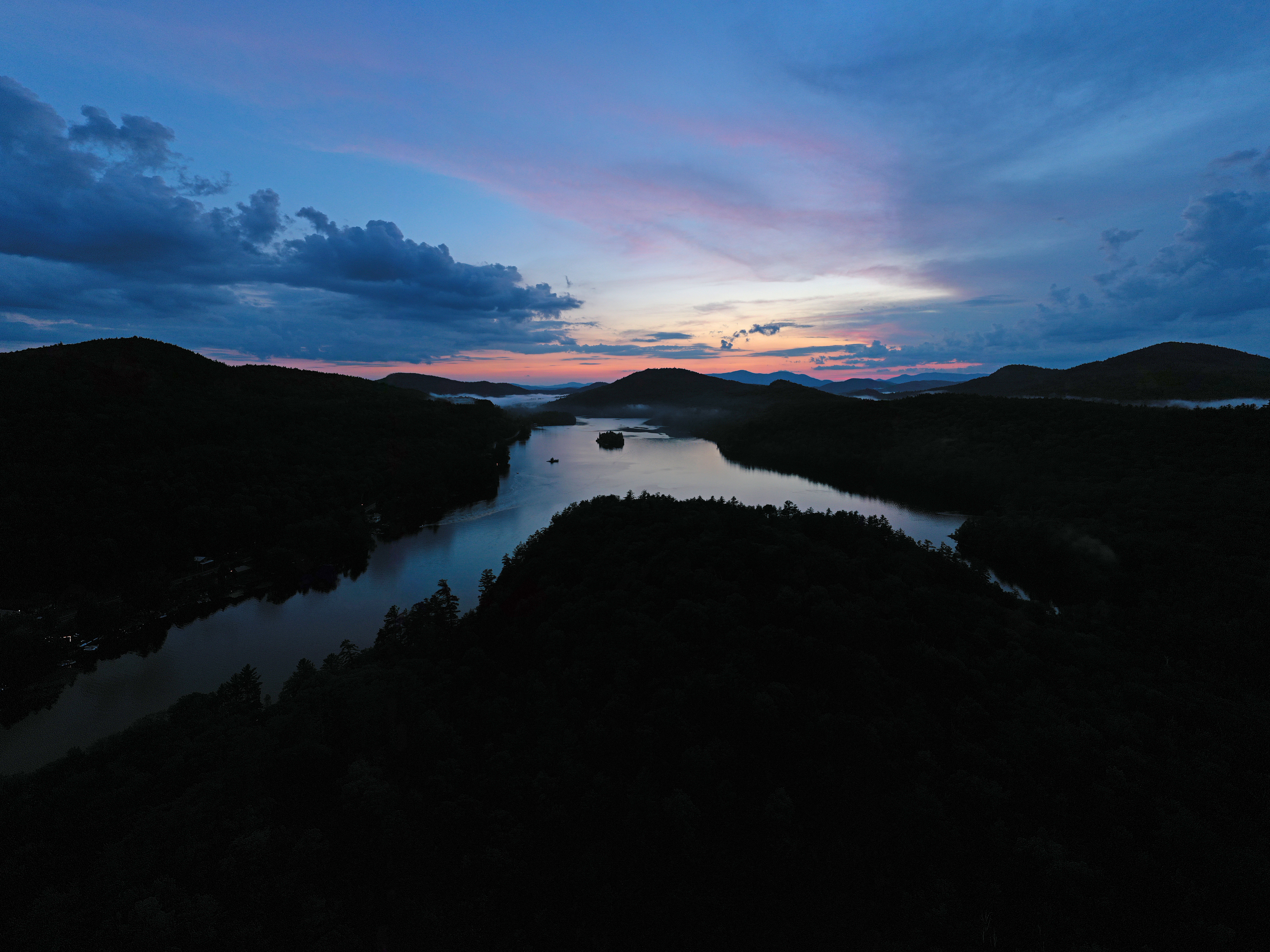
Looking North East over the Tiedemann Camp Towards the High Peaks |
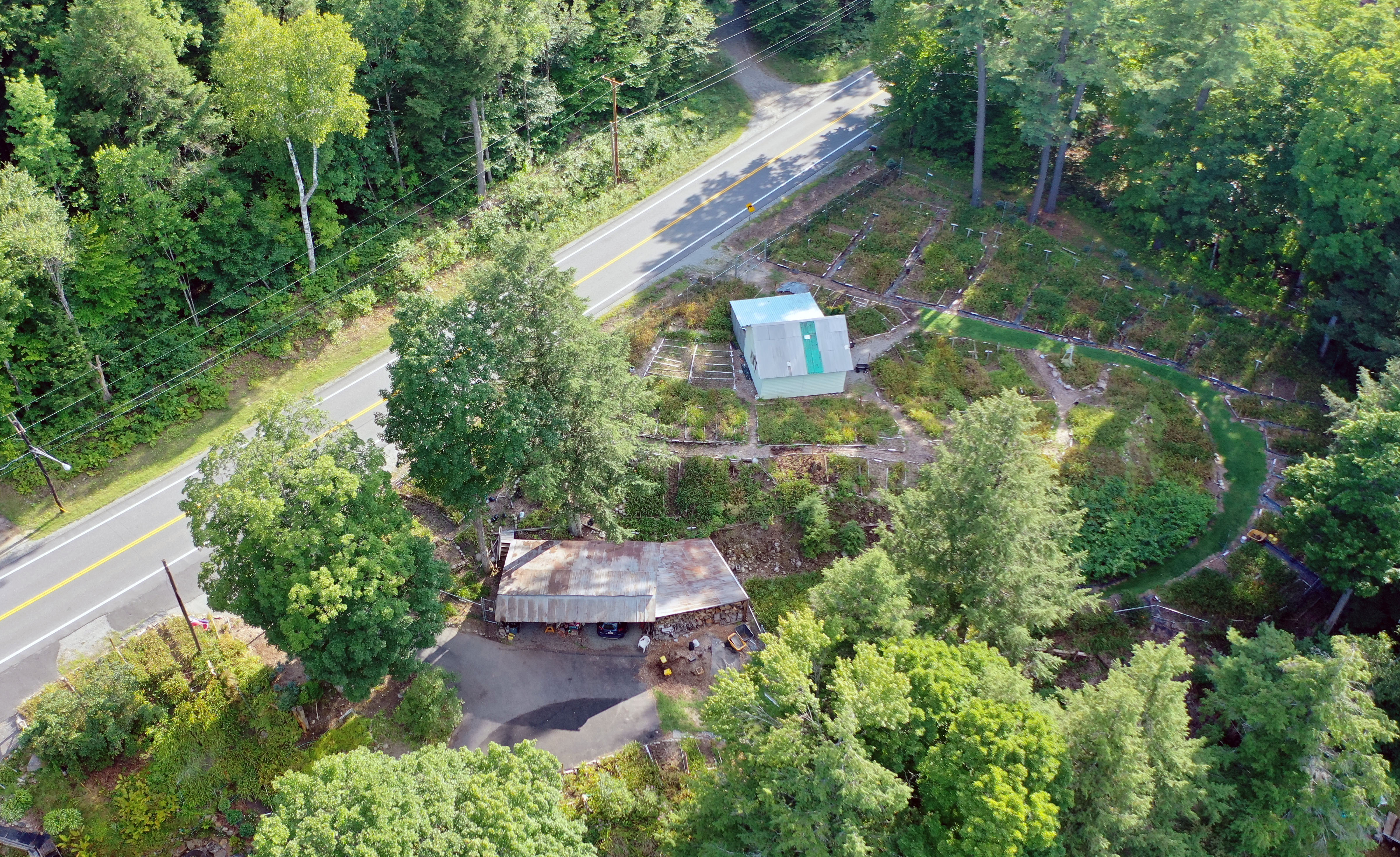 |
Jims Day Lilies |
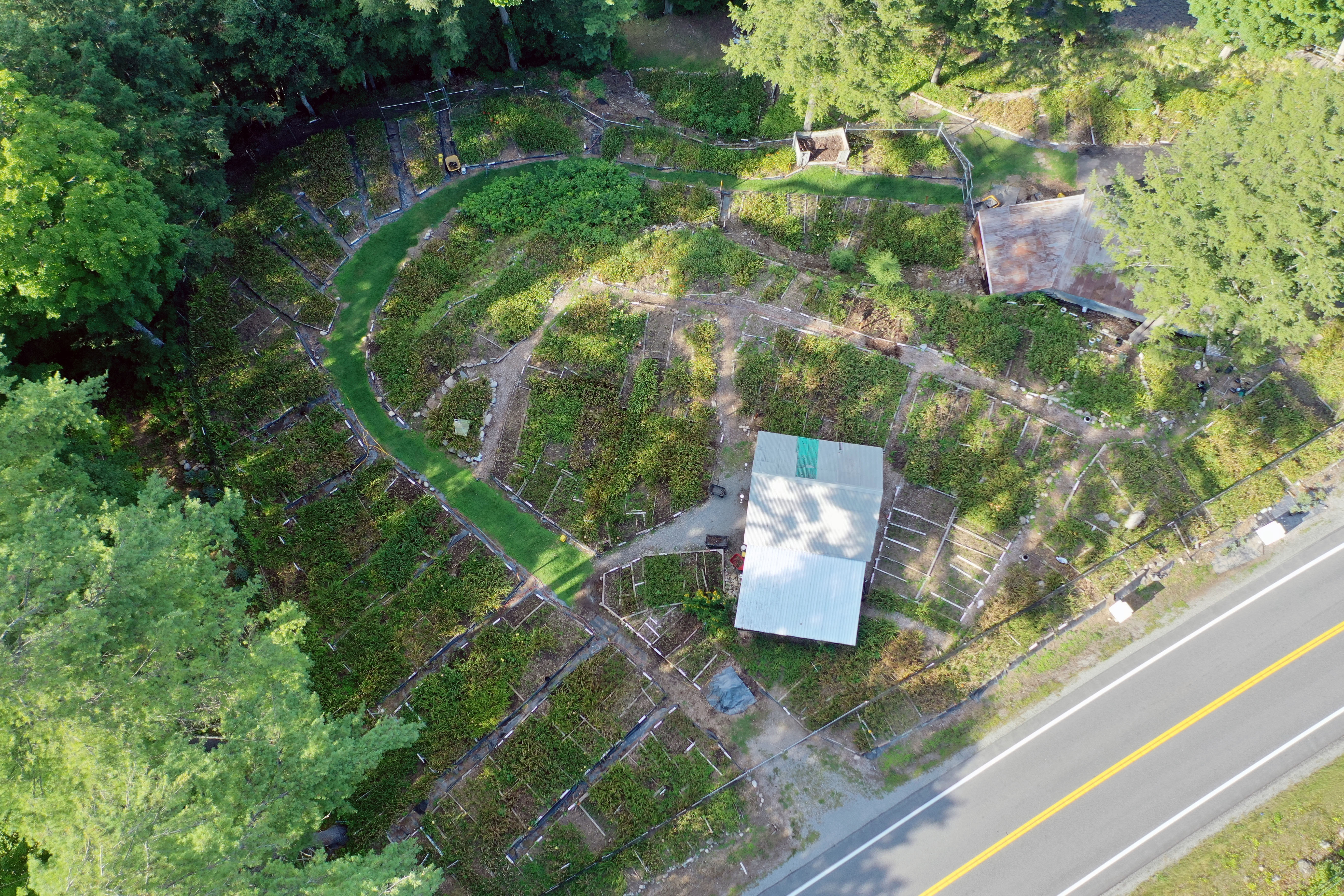 |
Jims Day Lilies |
 |
Clouds over Herd Point |
 |
Conklins Island Sunrise |
 |
Low clouds and rain over the West end of the lake |
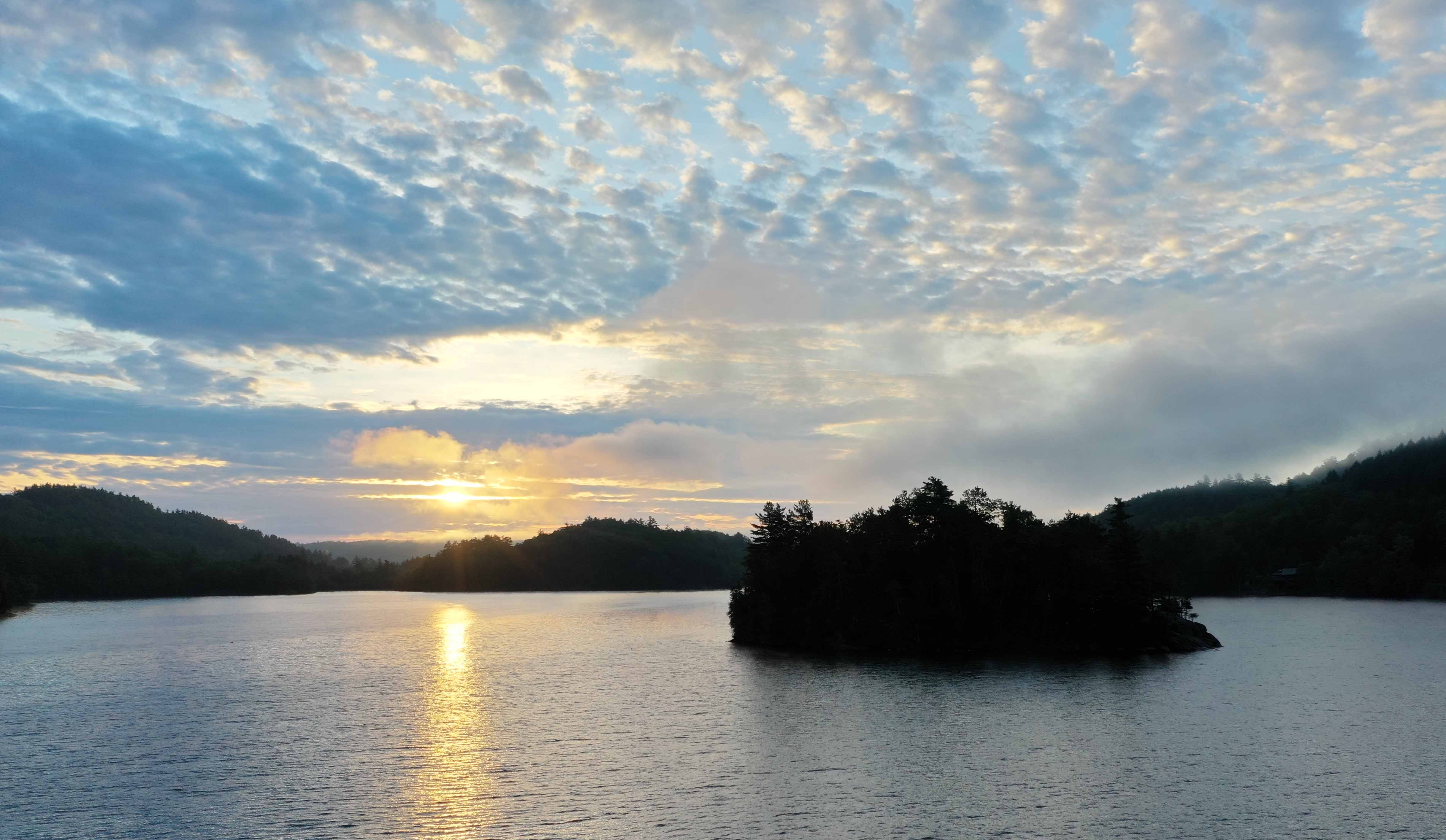 |
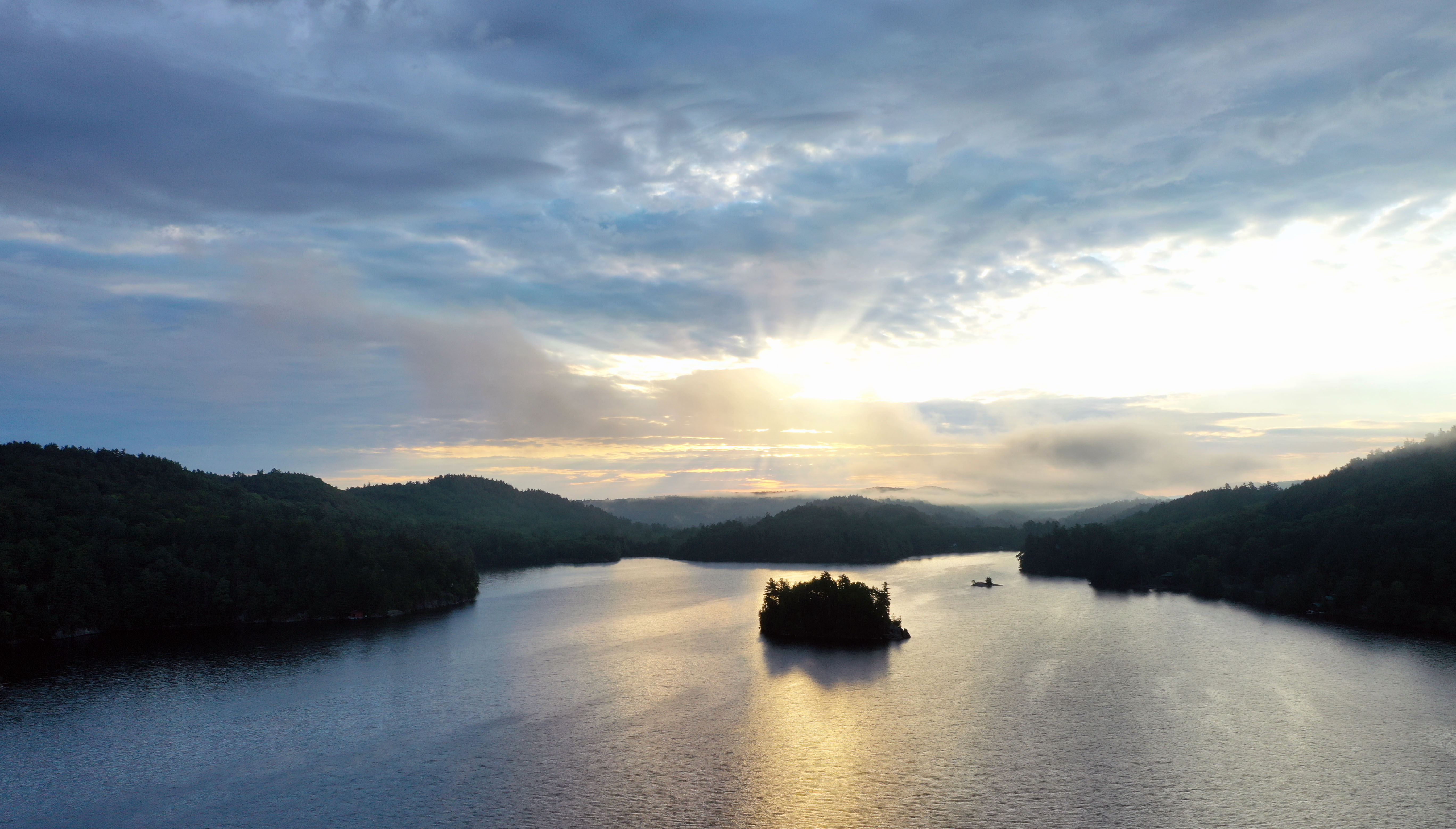
Sunrise over Conklins Island |
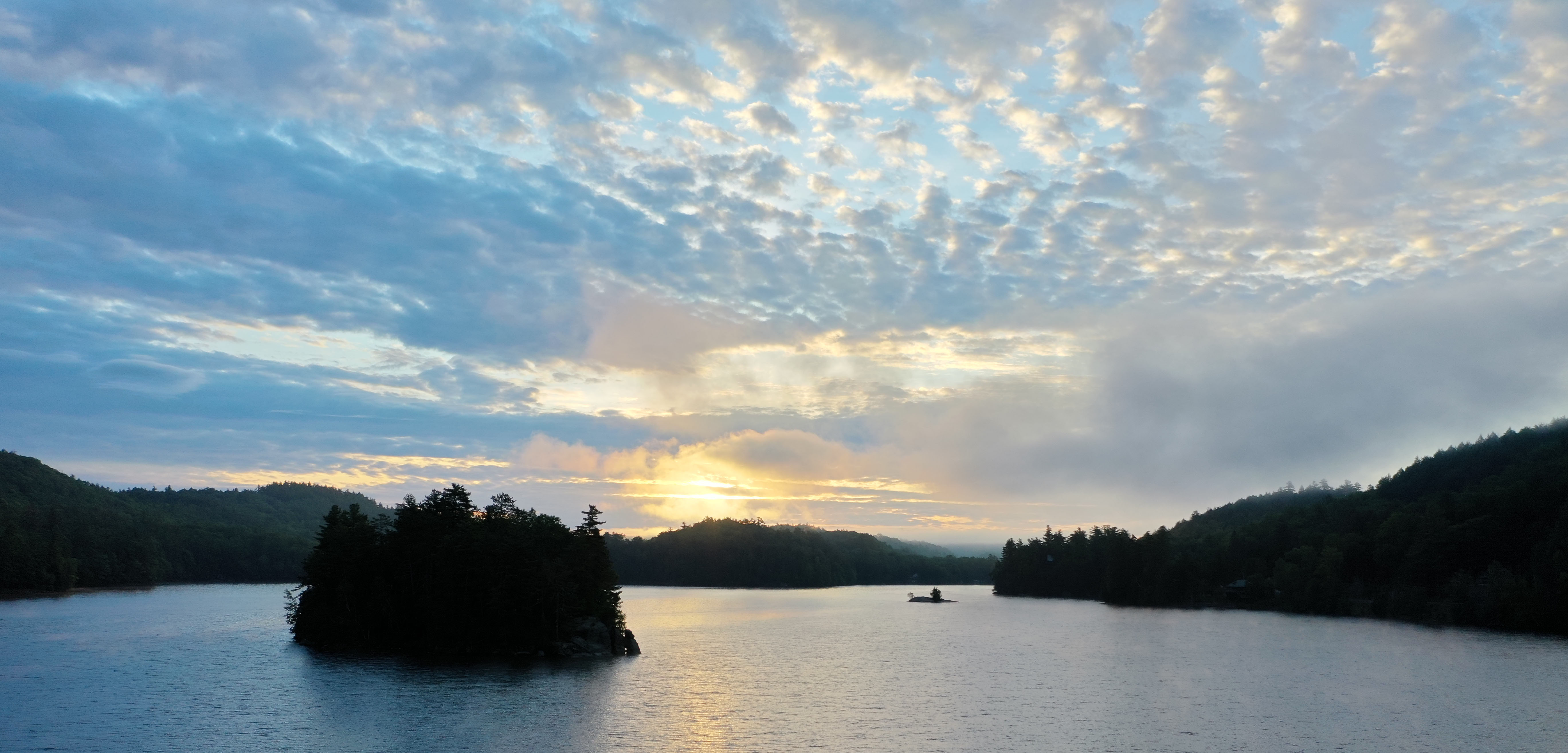 |
Sunrise over Conklins Island |
 |
Low clouds/fog over the Stoney Lonesome Rd (North Shore access road) |
 |
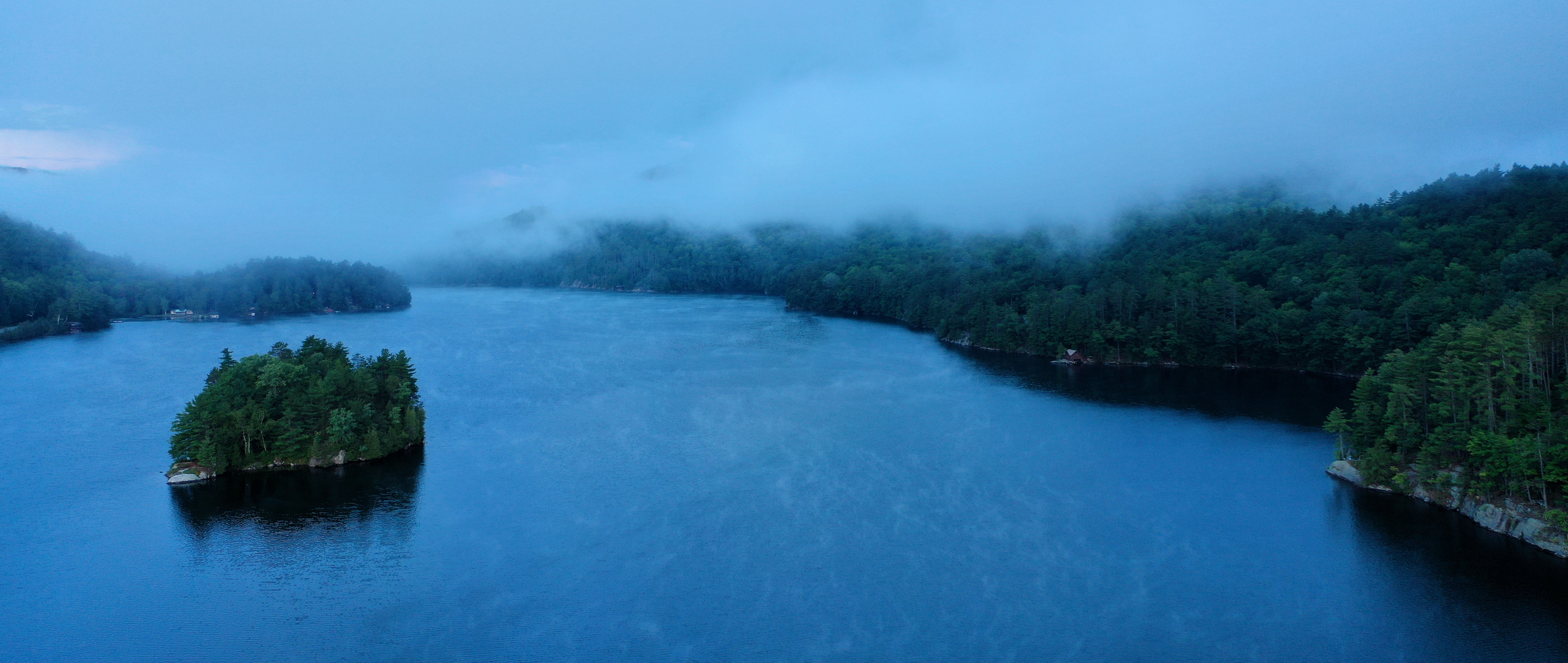
Low Clouds panorama looking at the North Shore over Eagle Cliff |
 |
Rainbow over Conklins Island |
 |
Panorama looking at the South Shore |
 |
Looking West along the North Shore |
 |
Sunset looking West |
 |
Sunset looking at the South Shore |
 |
Sunset over "Camels Head Mountain" |
 |
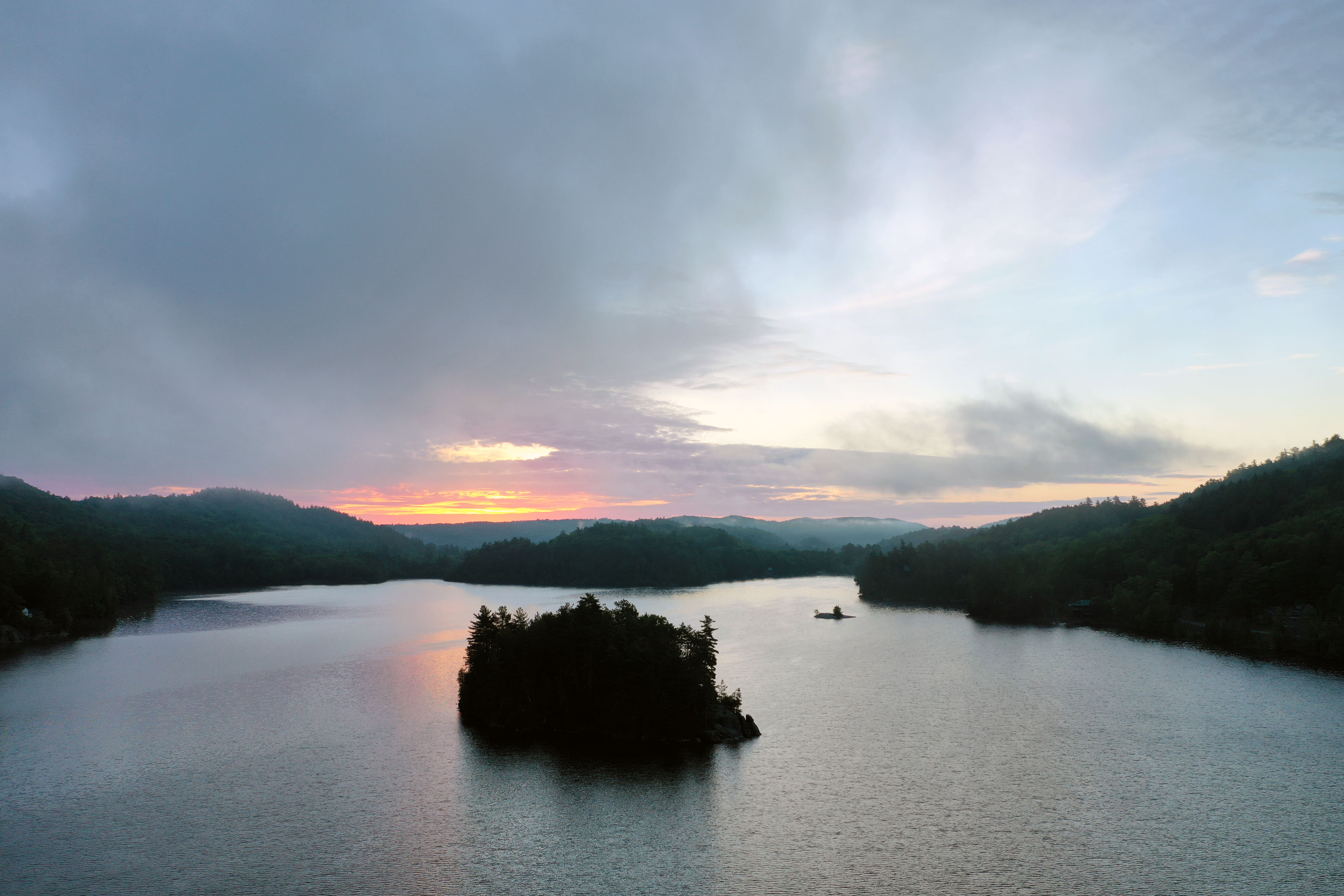
Storm clouds and sunset panorama looking at the South Shore |
 |
Sunset looking West over Ti Bay |
 |
Sunset over Turtle Island looking West |
 |
Sunset looking West over Harris Point |
 |
Sunset looing West over Harris Point |
 |
Paddacks from the air |
 |
Paddacks from the air |
 |
Paddacks from the air |
 |
Paddacks from the air |
 |
Aldens from the air |
 |
Aldens from the air |
 |
Milfoil Compass Target #2 Milfoil Targets Page |
 |
Visible Transect Grid from 1996-1998: grid/transect survey plant survey raw data for final report. (see 1998-December Baseline Aquatic Plant Monitoring Survey for the full report). |
|
|
Eagle Lake Property Owners, Inc. Celebrating 100 years of responsible lake stewardship in 2007. |


2020 Tiedemann Drone Flight Page
|
Thank you for your support in helping to make ELPOI's goal of maintaining our lake and its surrounding shorelines a reality.
The ELPOI is a 501(c)(3) not for profit organization.
Site layout by Michael Tiedemann
Comments, corrections and additions are greatly appreciated!
Last Updated: December 13, 2020