A Word From Our Sponsors
Back to Previous Page
2003 GPS Survey Page
In 2003 a survey was conducted by Michael Tiedemann that was to document comprehensively the scope of the milfoil problem in Eagle Lake. This survey was conducted using a boat and surface observation using a hand held GPS receiver tracing around the outline of the milfoil patches while taking position measurements. This survey was able to determine that there were approximately 8 acres of milfoil in the lake (2% of the lake surface area) located in 49 separate locations. Of these 49 locations over 60% of the milfoil is located in 6 locations. Further observation by experienced divers determined that milfoil exists below the observable depth from the surface.

Additional maps of Eagle Lake can also be found here.

Survey Reports

2003 GPS Survey of Eagle Lake Essex County NY: Baseline study documenting the location and size of the largest and densest beds of Eurasian Watermilfoil in Eagle Lake -Michael Tiedemann-

Data Table on patch size Sorted by Numerical number

Data Table on patch size Sorted by total surface area

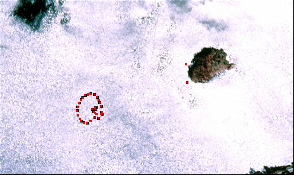
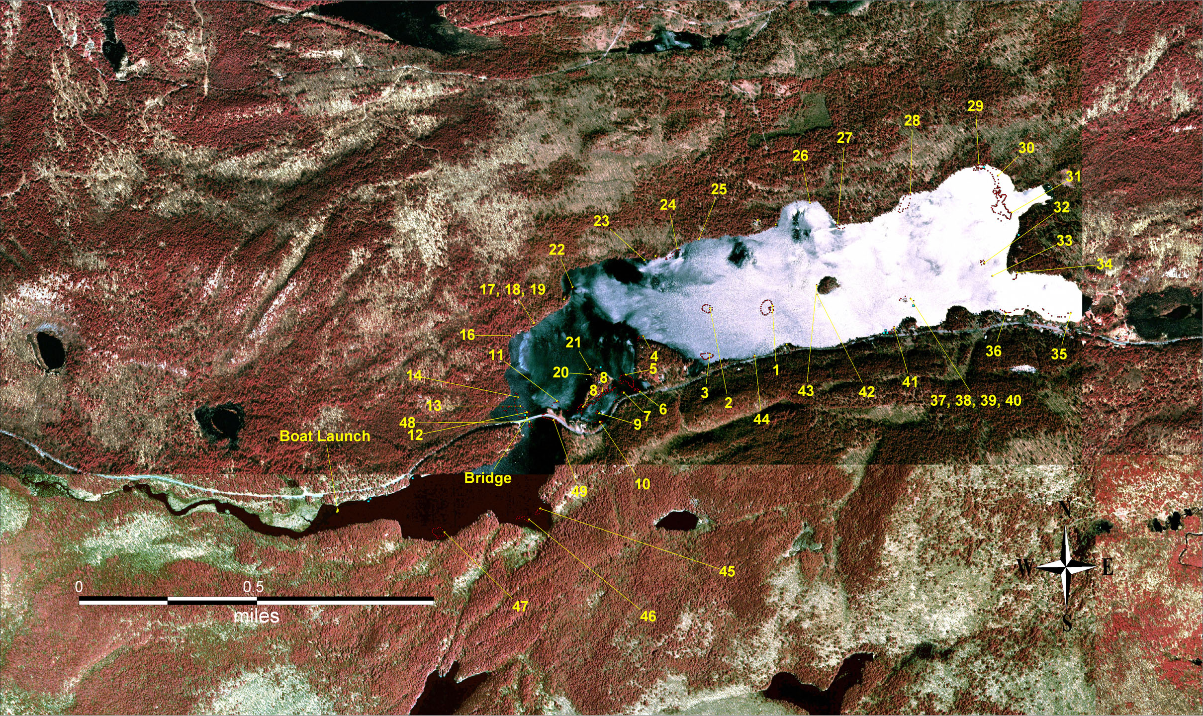
The following images are samples from the report that show the 3 most heavily infested areas of Eagle Lake. The images are not to scale with each other, the image at the bottom of the page is a composite of all of the images from Eagle Lake to scale showing patch location and numbering which correspond to the above data tables on patch size.

The Public Beach Middle of the Lake The Causeway and Fox Island
For a .pdf version of this map click here. For a .pdf version of this map click here. For a .pdf version of this map click here.


Full Lake Image (1.5mb)
For a .pdf version of this map click here.