 |
 |
 |
 |
 |
 |
 |
 |
 |
 |
 |
 |
 |
 |
||
|
|
Eagle Lake Property Owners, Inc. Celebrating 100 years of responsible lake stewardship in 2007. |

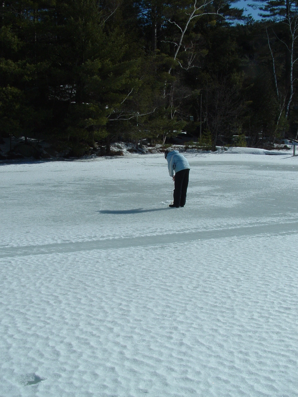
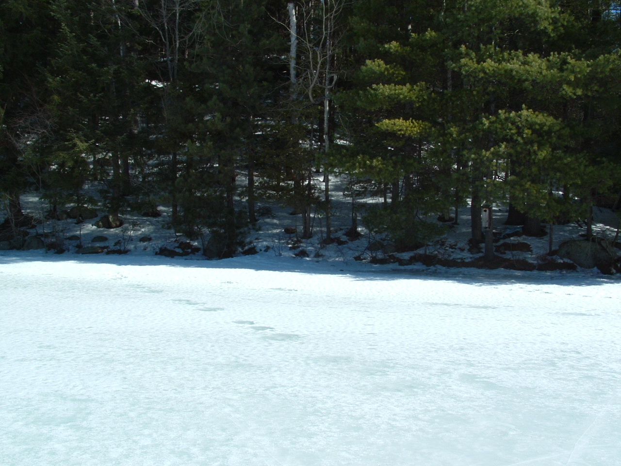
2009 Fox Island Transect Photo Page The data gathered from these transects as well as follow up surveys is available here.
|
Thank you for your support in helping to make ELPOI's goal of maintaining our lake and its surrounding shorelines a reality.
The ELPOI is a 501(c)(3) not for profit organization.
Site layout by Michael Tiedemann
Comments, corrections and additions are greatly appreciated!
Last Updated: February 16, 2020