| Eagle Lake | |||
| 1973 | 2010 | 2013 | 2016 |
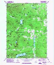 |
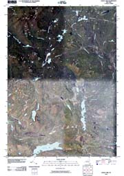 |
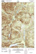 |
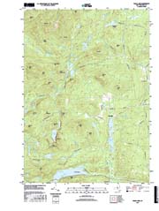 |
| For a .pdf version of this map click here. | For a .pdf version of this map click here. | For a .pdf version of this map click here. | For a .pdf version of this map click here. |
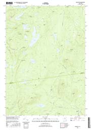
| Graphite | ||||
| 1973 #1 | 1973 #2 | 2010 | 2013 | 2016 |
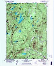 |
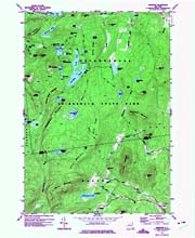 |
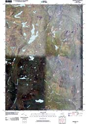 |
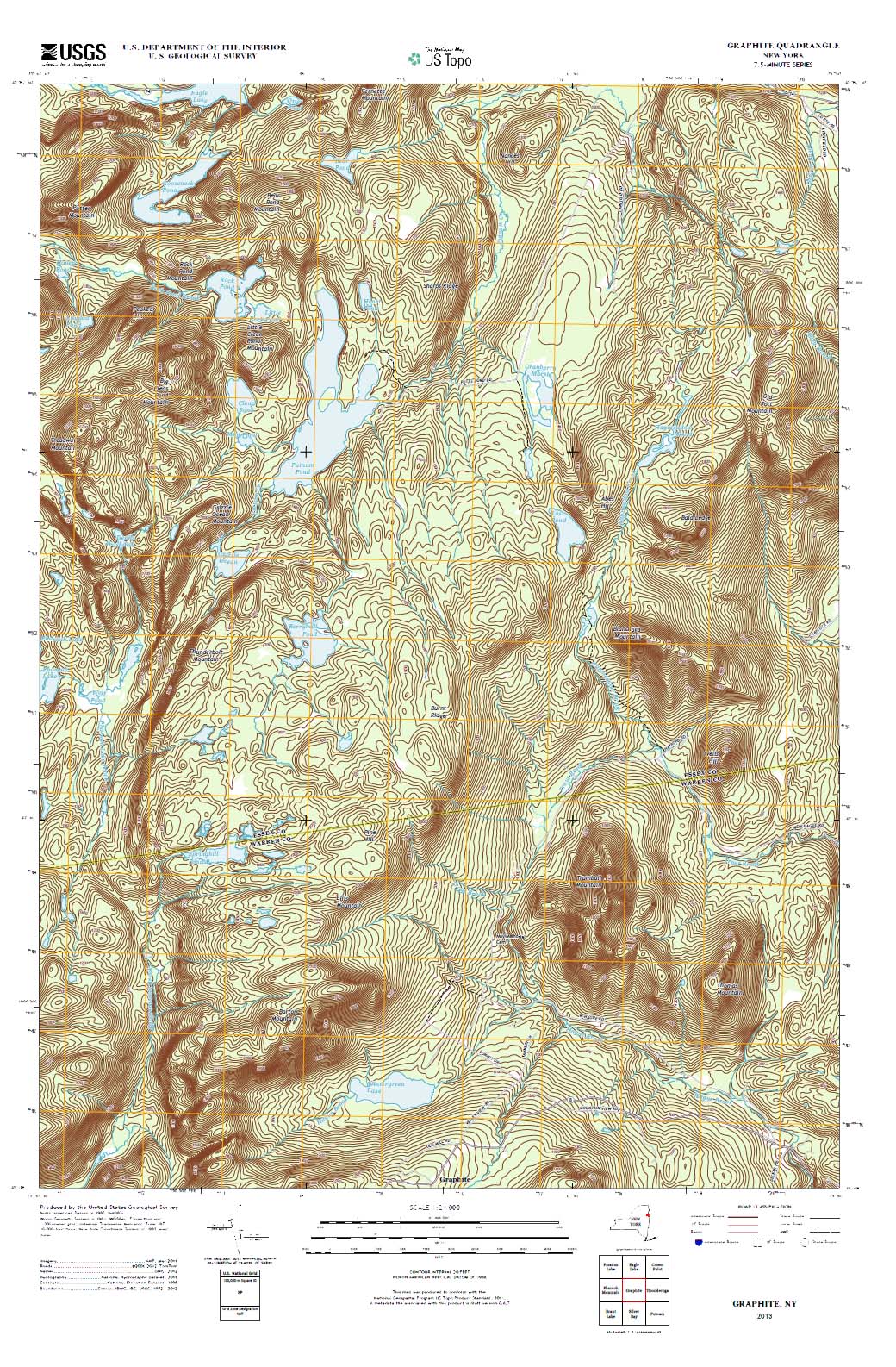 |
 |
| For a .pdf version of this map click here. | For a .pdf version of this map click here. | For a .pdf version of this map click here. | For a .pdf version of this map click here. | For a .pdf version of this map click here. |
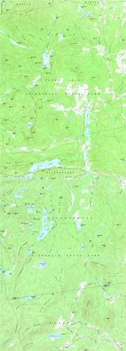
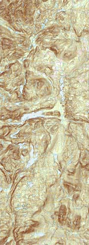
| Eagle Lake and Graphite edited and COMBINED | |||
| 1973 | 2010 | 2013 | 2016 |
 |
 |
 |
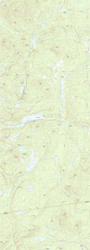 |
| For a .pdf version of this map click here. | For a .pdf version of this map click here. | For a .pdf version of this map click here. | For a .pdf version of this map click here. |


